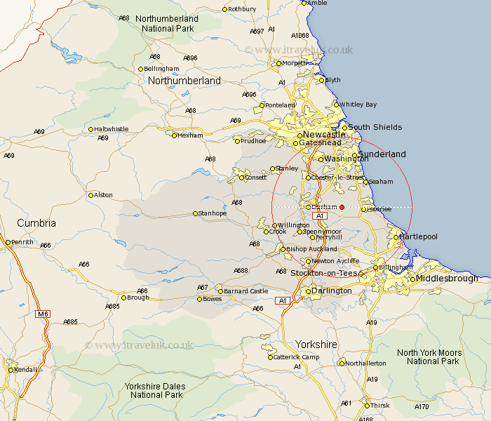
Durham Map Showing Location of Ludworth
District: Durham
Easting: 436455 Northing: 541466
Latitude: 54.77 Longitude: -1.43
 = Ludworth
Easting: 436455 Northing: 541466
Latitude: 54.77 Longitude: -1.43
= Ludworth
This Ludworth map below is supplied by Google. Use the tools in the top left corner to zoom into street level or zoom out for a road map, you may also need to zoom in to see Ludworth on the map. Click and drag the map to move around. If the map fails to load try and refresh your browser or zoom in or out (+ or -).
Update - it seems Google no longer allow people to use their maps for free! This Ludworth map sometimes loads and sometimes gives a error. I am working on a solution.
Closest 30 Towns or Cities to Ludworth (Population over 500)
Thornley 1.86km Haswell 2.13km Sherburn 3.21km South Hetton 4.28km Shotton 4.66km Pittington 4.9km Wingate 4.91km Easington 5.19km Peterlee 5.53km Hetton le Hole 5.66km Murton 5.66km Shincliffe 6.41km Bowburn 6.51km West Rainton 7.01km Dalton le Dale 7.01km Dalton 7.01km Coxhoe 7.02km Trimdon 7.49km Hesleden 7.71km Hutton Henry 7.72km Seaton 8.07km Durham 8.55km Cornforth 9.15km West Cornforth 9.15km Fishburn 9.27km Houghton le Spring 9.51km Horden 9.8km Bishop Middleham 9.81km Seaham 9.89km Seaham Harbour 9.89km