Durham Map Showing Location of Low Throston
Easting: 449402 Northing: 534167
Latitude: 54.7 Longitude: -1.23
 = Low Throston
Latitude: 54.7 Longitude: -1.23
= Low Throston
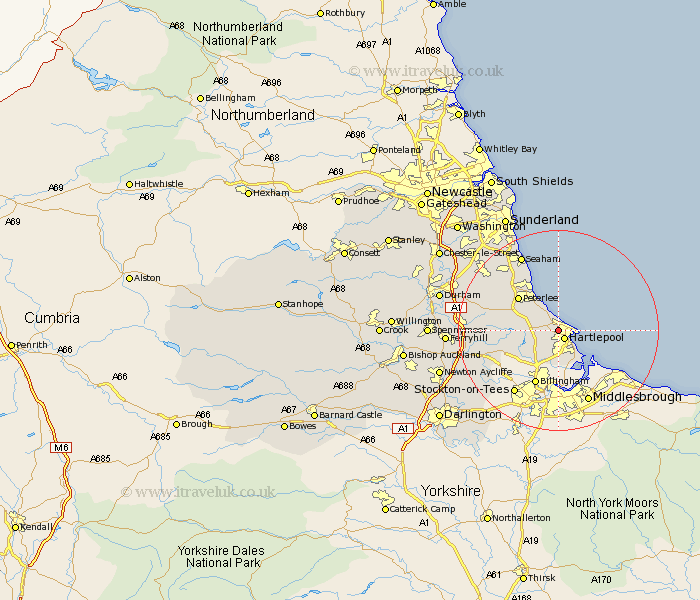
This Low Throston map below is supplied by Google. Use the tools in the top left corner to zoom into street level or zoom out for a road map, you may also need to zoom in to see Low Throston on the map. Click and drag the map to move around. If the map fails to load try and refresh your browser or zoom in or out (+ or -).
Update - it seems Google no longer allow people to use their maps for free! This Low Throston map sometimes loads and sometimes gives a error. I am working on a solution.
Closest 30 Towns or Cities to Low Throston (Population over 500)
Hartlepool 2.14km Hart 2.83km Elwick 3.71km Horden 6.42km Greatham 7.42km Hesleden 7.72km Hutton Henry 7.72km Wolviston 9.81km Peterlee 10.08km Wingate 10.32km Trimdon 11.78km Billingham on Tees 11.92km Billingham 11.92km Billingham-on-Tees 11.92km Easington 12.46km Shotton 12.61km Fishburn 12.99km Grindon 13.37km Thornley 13.99km Sedgefield 14.01km Haswell 14.98km Stockton 15.21km Stockton-on-Tees 15.21km Stockton on Tees 15.21km South Hetton 15.43km Dalton 15.54km Dalton le Dale 15.54km Bishop Middleham 16.17km Seaham Harbour 16.62km Seaham 16.62km