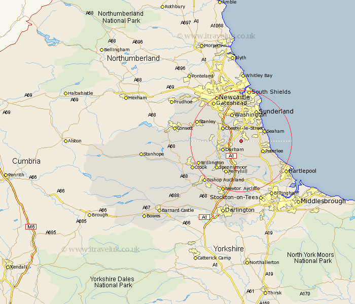
Durham Map Showing Location of Low Moorsley
District: Durham
Easting: 434282 Northing: 545154
Latitude: 54.8 Longitude: -1.47
 = Low Moorsley
Easting: 434282 Northing: 545154
Latitude: 54.8 Longitude: -1.47
= Low Moorsley
This Low Moorsley map below is supplied by Google. Use the tools in the top left corner to zoom into street level or zoom out for a road map, you may also need to zoom in to see Low Moorsley on the map. Click and drag the map to move around. If the map fails to load try and refresh your browser or zoom in or out (+ or -).
Update - it seems Google no longer allow people to use their maps for free! This Low Moorsley map sometimes loads and sometimes gives a error. I am working on a solution.
Closest 30 Towns or Cities to Low Moorsley (Population over 500)
Pittington 1.07km Hetton le Hole 2.14km West Rainton 2.83km Murton 3.7km Haswell 3.7km Sherburn 3.85km South Hetton 4.27km Houghton le Spring 5.56km Shincliffe 5.66km Thornley 5.96km Seaton 6.5km Dalton le Dale 6.67km Dalton 6.67km Shotton 6.67km Easington 7.08km Durham 7.4km Bowburn 8.08km Chester-le-Street 8.48km Peterlee 8.72km Wingate 9.14km Seaham 9.19km Seaham Harbour 9.19km Coxhoe 9.51km Sacriston 9.79km Witton Gilbert 10.68km Hesleden 11.11km Brandon 11.11km Birtley 11.26km Pelton 11.31km Washington 11.57km