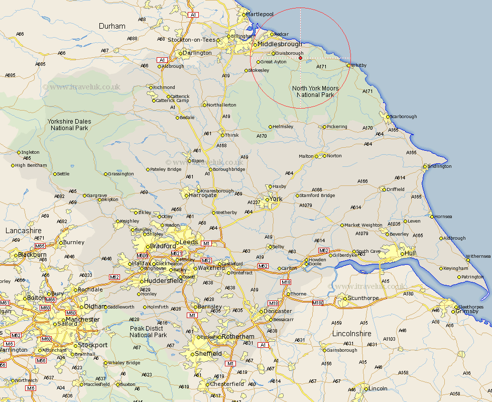
Yorkshire Map Showing Location of Liverton
Easting: 471200 Northing: 514059
Latitude: 54.52 Longitude: -0.9
 = Liverton
Latitude: 54.52 Longitude: -0.9
= Liverton
This Liverton map below is supplied by Google. Use the tools in the top left corner to zoom into street level or zoom out for a road map, you may also need to zoom in to see Liverton on the map. Click and drag the map to move around. If the map fails to load try and refresh your browser or zoom in or out (+ or -).
Update - it seems Google no longer allow people to use their maps for free! This Liverton map sometimes loads and sometimes gives a error. I am working on a solution.
Closest 30 Towns or Cities to Liverton (Population over 500)
Loftus 3.86km Brotton 5.96km Skelton 6.53km Skelton-in-Cleveland 6.53km Hinderwell 8.8km Saltburn by the Sea 9.15km Saltburn 9.15km Saltburn-by-the-Sea 9.15km Guisborough 9.85km Marske 11.36km Marske by the Sea 11.36km Marske-by-the-Sea 11.36km Eston 13.42km Redcar 14.41km Great Ayton 15.18km Ingleby 15.91km Sleights 16.8km Middlesbrough 17.06km Middlebrough 17.06km Middlesborough 17.06km South Bank 17.06km South Bank on Tees 17.06km South Bank-on-Tees 17.06km South Bank in Normanby 17.06km Whitby 17.71km Grangetown 17.74km Great Broughton 18.75km Stokesley 20.16km Seamer 21.19km Hawsker 22.77km