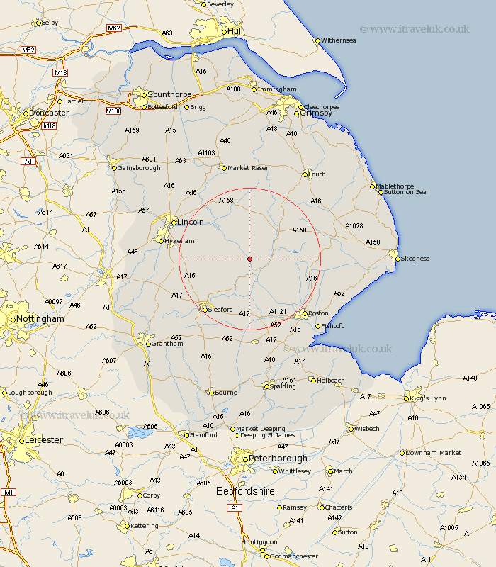
Lincolnshire Map Showing Location of Kirkstead
District: North Kesteven
Easting: 518179 Northing: 361061
Latitude: 53.13 Longitude: -0.23
 = Kirkstead
Easting: 518179 Northing: 361061
Latitude: 53.13 Longitude: -0.23
= Kirkstead
This Kirkstead map below is supplied by Google. Use the tools in the top left corner to zoom into street level or zoom out for a road map, you may also need to zoom in to see Kirkstead on the map. Click and drag the map to move around. If the map fails to load try and refresh your browser or zoom in or out (+ or -).
Update - it seems Google no longer allow people to use their maps for free! This Kirkstead map sometimes loads and sometimes gives a error. I am working on a solution.
Closest 30 Towns or Cities to Kirkstead (Population over 500)
Woodhall Spa 2.16km Tattershall 4.32km Coningsby 4.82km Billinghay 6.48km Martin 6.92km Digby 10.49km Horncastle 10.75km Banovallum 10.75km Bardney 10.81km Metheringham 11.12km Dunston 11.27km Scopwick 11.72km Mareham-on-the-Hill 12.43km Mareham 12.43km Mareham on the Hill 12.43km Nocton 12.78km Potter Hanworth 13.43km Carrington 13.44km Bloxholm 13.44km Bloxholme 13.44km Buskington 14.97km Ruskington 14.97km Brauncewell 16.25km Branston 16.52km Cherry Willingham 17.1km Heighington 17.23km Wragby 17.26km Fiskerton 17.36km Reepham 17.36km Frithville 17.38km