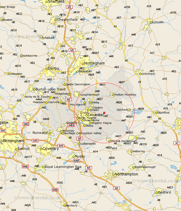
Leicestershire Map Showing Location of Hungerton
District: Harborough
Easting: 469899 Northing: 306347
Latitude: 52.65 Longitude: -0.97
 = Hungerton
Easting: 469899 Northing: 306347
Latitude: 52.65 Longitude: -0.97
= Hungerton
This Hungerton map below is supplied by Google. Use the tools in the top left corner to zoom into street level or zoom out for a road map, you may also need to zoom in to see Hungerton on the map. Click and drag the map to move around. If the map fails to load try and refresh your browser or zoom in or out (+ or -).
Update - it seems Google no longer allow people to use their maps for free! This Hungerton map sometimes loads and sometimes gives a error. I am working on a solution.
Closest 30 Towns or Cities to Hungerton (Population over 500)
Twyford 3.85km Houghton 3.87km Houghton on the Hill 3.87km Houghton-on-the-Hill 3.87km Gaddesby 5.56km Queniboro 5.82km Queniborough 5.82km Billesdon 6km Syston 7.69km Rearsby 8.67km Somerby 9.18km Frisby on the Wreak 9.26km Frisby 9.26km Frisby-on-the-Wreak 9.26km Hoby 9.53km Birstall 10.29km Great Glen 10.3km Oadby 10.82km Leiscester 11.4km Leicester 11.4km Sileby 11.65km Wigston 11.66km Wigston Magna 11.66km Rothley 12.54km Kibworth Harcourt 13.03km Kibworth 13.03km Glen Parva 13.73km Glen Parka 13.73km Melton Mowbray 14.14km Hallaton 14.31km