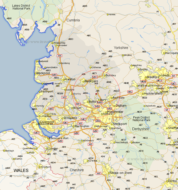
Lancashire Map Showing Location of Holcombe
District: Bury
Easting: 377969 Northing: 417132
Latitude: 53.65 Longitude: -2.33
 = Holcombe
Easting: 377969 Northing: 417132
Latitude: 53.65 Longitude: -2.33
= Holcombe
This Holcombe map below is supplied by Google. Use the tools in the top left corner to zoom into street level or zoom out for a road map, you may also need to zoom in to see Holcombe on the map. Click and drag the map to move around. If the map fails to load try and refresh your browser or zoom in or out (+ or -).
Update - it seems Google no longer allow people to use their maps for free! This Holcombe map sometimes loads and sometimes gives a error. I am working on a solution.
Closest 30 Towns or Cities to Holcombe (Population over 500)
Ramsbottom 2.16km Edenfield 2.88km Turton 4.77km Haslingden 5.56km Tottington 5.56km Bury 5.98km Rawtenstall 6.46km Bromley Cross 7.09km Bradshaw 7.09km Whitworth 9.89km Bolton 9.92km Oswaldtwistle 10.25km Darwen 10.39km Heywood 10.68km Radcliffe 11.12km Little Lever 11.33km Whitefield 11.33km Bacup 11.34km Church 11.6km Farnworth 11.96km Rishton 12.4km Rochdale 12.64km Accrington 13.02km Wardle 13.18km Clayton-le-Moors 13.39km Clayton le Moor 13.39km Clayton le Moors 13.39km Kearsley 13.39km Prestwich 13.39km Middleton 14.18km