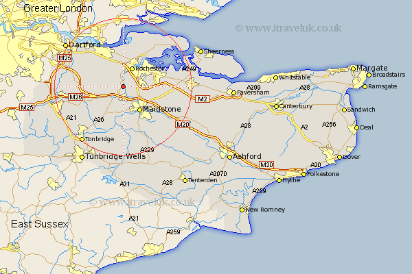
Kent Map Showing Location of Holborough
District: Tonbridge and Malling
Easting: 570653 Northing: 162261
Latitude: 51.33 Longitude: 0.45
 = Holborough
Easting: 570653 Northing: 162261
Latitude: 51.33 Longitude: 0.45
= Holborough
This Holborough map below is supplied by Google. Use the tools in the top left corner to zoom into street level or zoom out for a road map, you may also need to zoom in to see Holborough on the map. Click and drag the map to move around. If the map fails to load try and refresh your browser or zoom in or out (+ or -).
Update - it seems Google no longer allow people to use their maps for free! This Holborough map sometimes loads and sometimes gives a error. I am working on a solution.
Closest 30 Towns or Cities to Holborough (Population over 500)
Wouldham 1.16km Cuxton 1.86km Snodland 2.18km Burham 2.96km Ryarsh 5.93km Aylesford 6.02km Rochester 6.11km West Malling 6.55km Strood 6.56km Cobham 6.56km Addington 6.56km Meopham 6.88km Chatham 7.23km East Malling 7.5km Shorne 7.51km Offham 8.03km Maidstone 8.74km Boxley 8.9km Ridley 9.26km East Barming 9.33km Barming 9.33km Wateringbury 9.55km Gillingham 9.71km Hartley 9.98km Wrotham 9.98km Ash 10.58km Longfield 10.8km Detling 10.81km Mereworth 10.93km Hoo 10.98km