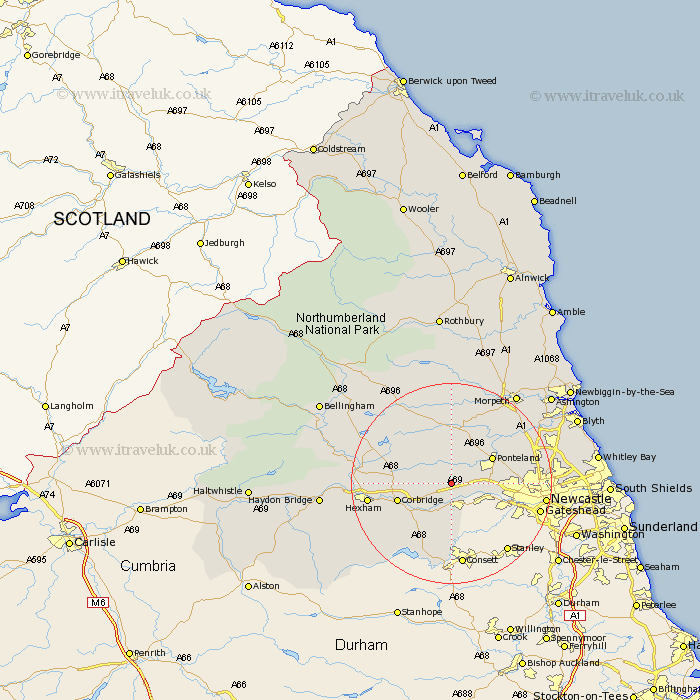
Northumberland Map Showing Location of Harlow Hill
District: Tynedale
Easting: 408528 Northing: 567285
Latitude: 55 Longitude: -1.87
 = Harlow Hill
Easting: 408528 Northing: 567285
Latitude: 55 Longitude: -1.87
= Harlow Hill
This Harlow Hill map below is supplied by Google. Use the tools in the top left corner to zoom into street level or zoom out for a road map, you may also need to zoom in to see Harlow Hill on the map. Click and drag the map to move around. If the map fails to load try and refresh your browser or zoom in or out (+ or -).
Update - it seems Google no longer allow people to use their maps for free! This Harlow Hill map sometimes loads and sometimes gives a error. I am working on a solution.
Closest 30 Towns or Cities to Harlow Hill (Population over 500)
Ovingham 3.7km Stamfordham 3.7km Wylam 3.85km Prudhoe 5.66km Stocksfield 8.07km Newburn 9.28km Ponteland 9.28km Ridingmill 9.79km Riding 9.79km Corbridge 10.26km Woolsington 11.84km Sandhoe 11.84km Dinnington 12.94km Acomb 15km Challerton 15.33km Chollerton 15.33km Hexham 15.34km Slaley 15.39km Gosforth 15.94km Stannington 16.91km Warden 17.11km Humshaugh 17.4km Newcastle-on-Tyne 17.41km Newcastle 17.41km Newcastle on Tyne 17.41km Newcastle upon Tyne 17.41km Long Benton 19.13km Longbenton 19.13km Dudley 19.48km Killingworth 19.48km