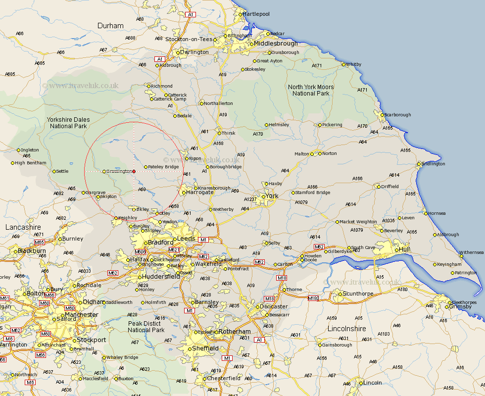
Yorkshire Map Showing Location of Greenhow
District: Harrogate
Easting: 411996 Northing: 463453
Latitude: 54.07 Longitude: -1.82
 = Greenhow
Easting: 411996 Northing: 463453
Latitude: 54.07 Longitude: -1.82
= Greenhow
This Greenhow map below is supplied by Google. Use the tools in the top left corner to zoom into street level or zoom out for a road map, you may also need to zoom in to see Greenhow on the map. Click and drag the map to move around. If the map fails to load try and refresh your browser or zoom in or out (+ or -).
Update - it seems Google no longer allow people to use their maps for free! This Greenhow map sometimes loads and sometimes gives a error. I am working on a solution.
Closest 30 Towns or Cities to Greenhow (Population over 500)
Bewerley 3.75km Dacre 6.79km Darley 8.47km Grassington 10.88km Threshfield 13.18km Birstwith 13.57km Hampsthwaite 15.2km Addingham 15.46km Kirkby Malzeard 15.55km Embsay 15.56km Ilkley 16.68km Grewelthorpe 16.91km Skipton 17.16km Burley in Wharfedale 17.24km Burley 17.24km Killinghall 18.28km Bradley 19.33km Masham 19.9km Silsden 20.04km Ripon 20.34km Otley 20.48km Burton Leonard 20.66km Gargrave 20.7km Harrogate 20.7km Bishop Monkton 20.74km Monkton 20.74km Menston 21.11km Cononley 21.19km Carlton 21.27km Carleton 21.27km