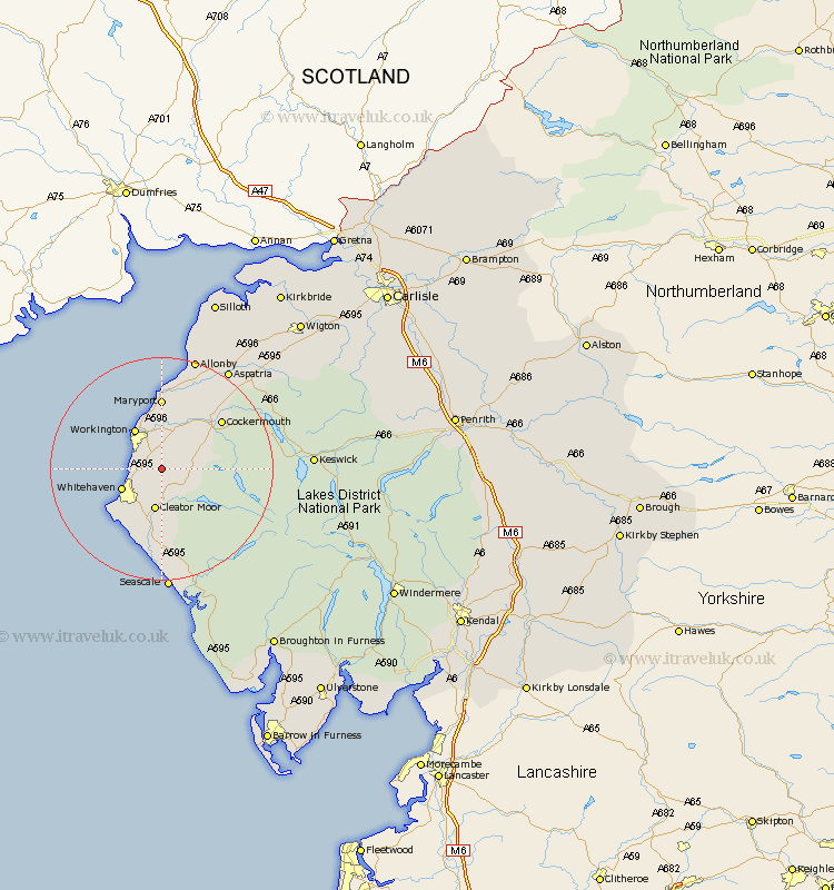
Cumbria Map Showing Location of Gilgarran
District: Copeland
Easting: 303068 Northing: 521947
Latitude: 54.58 Longitude: -3.5
 = Gilgarran
Easting: 303068 Northing: 521947
Latitude: 54.58 Longitude: -3.5
= Gilgarran
This Gilgarran map below is supplied by Google. Use the tools in the top left corner to zoom into street level or zoom out for a road map, you may also need to zoom in to see Gilgarran on the map. Click and drag the map to move around. If the map fails to load try and refresh your browser or zoom in or out (+ or -).
Update - it seems Google no longer allow people to use their maps for free! This Gilgarran map sometimes loads and sometimes gives a error. I am working on a solution.
Closest 30 Towns or Cities to Gilgarran (Population over 500)
Distington 2.15km Dean 4.68km Lowca 5.37km Frizington 5.66km Parton 5.68km Lamplugh 6.7km Whitehaven 7.43km Cleator Moor 7.48km Workington 8.57km Brigham 9.15km Flimby 11.18km Broughton Moor 11.33km St Bees 11.93km St Bega 11.93km St. Bega 11.93km Saint Bega 11.93km St. Bees 11.93km Saint Bees 11.93km Maryport 12.98km Egremont 13.01km Cockermouth 13.39km Dearham 13.67km Bridekirk 14.05km Crosscanonby 17.22km Gosforth 20.83km Aspatria 21.41km Seascale 22.26km Koswick 24.77km Keswick 24.77km Bromfield 28.38km