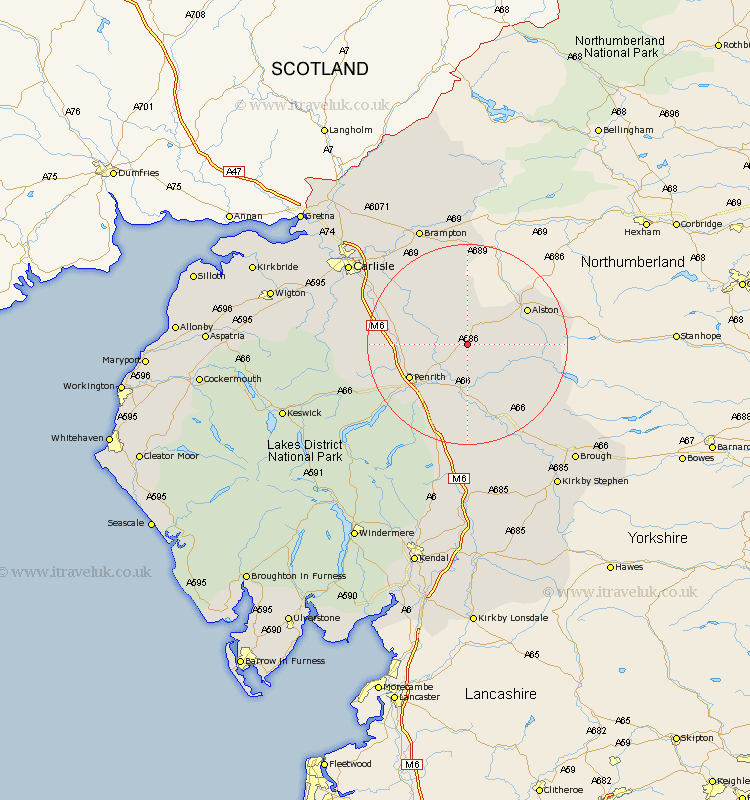
Cumbria Map Showing Location of Gamblesby
District: Eden
Easting: 361368 Northing: 537767
Latitude: 54.73 Longitude: -2.6
 = Gamblesby
Easting: 361368 Northing: 537767
Latitude: 54.73 Longitude: -2.6
= Gamblesby
This Gamblesby map below is supplied by Google. Use the tools in the top left corner to zoom into street level or zoom out for a road map, you may also need to zoom in to see Gamblesby on the map. Click and drag the map to move around. If the map fails to load try and refresh your browser or zoom in or out (+ or -).
Update - it seems Google no longer allow people to use their maps for free! This Gamblesby map sometimes loads and sometimes gives a error. I am working on a solution.
Closest 30 Towns or Cities to Gamblesby (Population over 500)
Lazonby 6.42km Lasonby 6.42km Langwathby 7.02km Kirkoswald 7.41km Culgaith 9.26km Ainstable 11.32km Kirkby Thore 13.36km Long Marton 15.76km Long Marston 15.76km Skelton 17.52km Greystoke 19.48km Dacre 19.83km Appleby 19.99km Wetheral 20.32km Hayton 20.88km Farlam 21.08km Crosby Ravensworth 24.11km Shap 24.46km Irthington 24.67km Brampton 25.56km Hesket Newmarket 26.75km Dalston 26.98km Carlisle 27.1km Stanwix 28.28km Caldbeck 28.89km Orton 29.73km Brough 30.87km Thursby 30.92km Rockcliffe 33.13km Rockcliff 33.13km