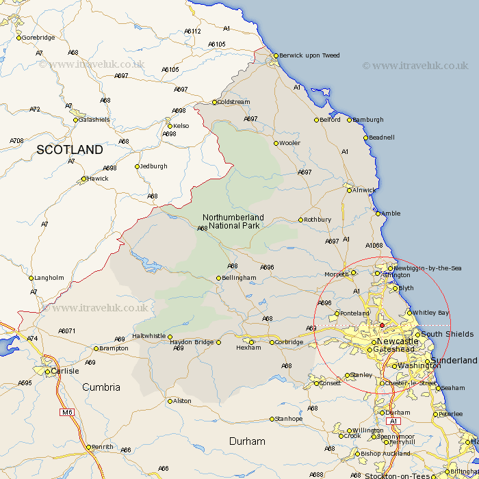
Northumberland Map Showing Location of Forest Hall
District: North Tyneside
Easting: 427705 Northing: 569221
Latitude: 55.02 Longitude: -1.57
 = Forest Hall
Easting: 427705 Northing: 569221
Latitude: 55.02 Longitude: -1.57
= Forest Hall
This Forest Hall map below is supplied by Google. Use the tools in the top left corner to zoom into street level or zoom out for a road map, you may also need to zoom in to see Forest Hall on the map. Click and drag the map to move around. If the map fails to load try and refresh your browser or zoom in or out (+ or -).
Update - it seems Google no longer allow people to use their maps for free! This Forest Hall map sometimes loads and sometimes gives a error. I am working on a solution.
Closest 30 Towns or Cities to Forest Hall (Population over 500)
Killingworth 1.85km Long Benton 1.86km Longbenton 1.86km Shiremoor 2.11km Wallsend on Tyne 2.85km Wallsend-on-Tyne 2.85km Wallsend 2.85km Gosforth 3.69km Seghill 3.85km Cramlington 5.66km Newcastle-on-Tyne 5.96km Newcastle upon Tyne 5.96km Newcastle on Tyne 5.96km Newcastle 5.96km North Shields 6.13km Seaton Delaval 6.41km Dudley 6.98km Woolsington 7.44km Tynemouth 7.49km Whitley Bay 8.13km Whitley 8.13km Dinnington 8.31km Seaton Sluice 9.37km South Shields 9.81km Stannington 11.24km Newburn 12km Blyth 12.03km Blythe 12.03km Ponteland 12.26km Bedlington 12.93km