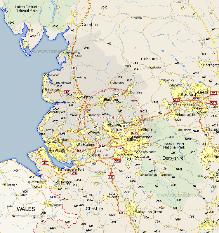
Lancashire Map Showing Location of Edgworth
Easting: 374655 Northing: 415291
Latitude: 53.63 Longitude: -2.38
 = Edgworth
Latitude: 53.63 Longitude: -2.38
= Edgworth
This Edgworth map below is supplied by Google. Use the tools in the top left corner to zoom into street level or zoom out for a road map, you may also need to zoom in to see Edgworth on the map. Click and drag the map to move around. If the map fails to load try and refresh your browser or zoom in or out (+ or -).
Update - it seems Google no longer allow people to use their maps for free! This Edgworth map sometimes loads and sometimes gives a error. I am working on a solution.
Closest 30 Towns or Cities to Edgworth (Population over 500)
Turton 1.1km Bradshaw 3.86km Bromley Cross 3.86km Ramsbottom 4.39km Tottington 4.96km Bolton 6.46km Bury 6.63km Edenfield 6.63km Haslingden 8.12km Darwen 9.23km Farnworth 9.33km Little Lever 9.33km Radcliffe 9.83km Rawtenstall 9.92km Whitefield 10.77km Kearsley 11.12km Oswaldtwistle 11.17km Horwich 11.6km Heywood 12.32km Westhoughton 12.78km Prestwich 12.93km Church 12.98km Walkden 13.01km Rishton 13.16km Withnell 13.25km Brinscall 13.3km Whitworth 13.31km Pendlebury 13.38km Haigh 13.7km Tyldesley 14.08km