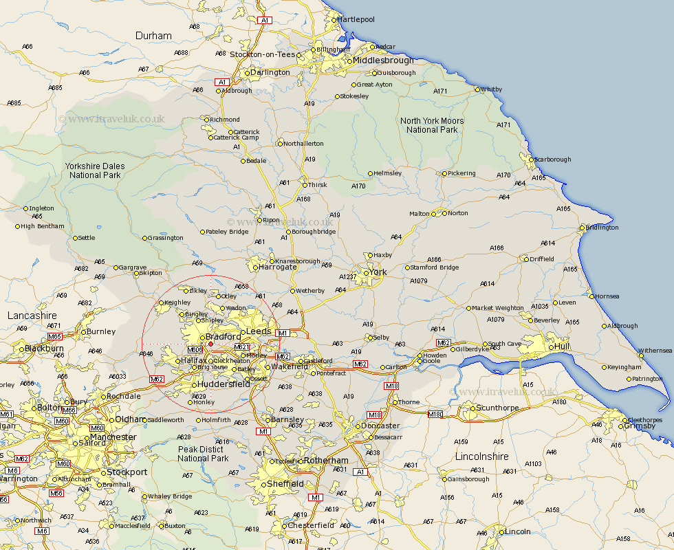
Yorkshire Map Showing Location of Dudley Hill
District: Bradford
Easting: 418674 Northing: 430100
Latitude: 53.77 Longitude: -1.72
 = Dudley Hill
Easting: 418674 Northing: 430100
Latitude: 53.77 Longitude: -1.72
= Dudley Hill
This Dudley Hill map below is supplied by Google. Use the tools in the top left corner to zoom into street level or zoom out for a road map, you may also need to zoom in to see Dudley Hill on the map. Click and drag the map to move around. If the map fails to load try and refresh your browser or zoom in or out (+ or -).
Update - it seems Google no longer allow people to use their maps for free! This Dudley Hill map sometimes loads and sometimes gives a error. I am working on a solution.
Closest 30 Towns or Cities to Dudley Hill (Population over 500)
Bradford 2.87km Pudsey 3.77km Cleckheaton 5.56km Liversedge 7.5km Shipley 8.1km Heckmondwike 8.11km Brighouse 8.62km Horsforth 9.21km Leeds 9.51km Morley 9.52km Baildon 9.83km Drewsbury 9.91km Dewsbury 9.91km Batley 10.26km Halifax 10.38km Guiseley 11.12km Wilsden 11.31km Mirfield 11.33km Yeadon 11.59km Bingley 12.02km Elland 12.04km Denholme 12.19km Menston 13.01km Queensbury 13.15km Cullingworth 13.26km Huddersfield 13.7km Bramhope 14.53km Lofthouse 14.72km Ossett 14.87km Otley 14.98km