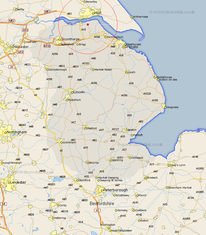
Lincolnshire Map Showing Location of Barrow
Population: 2144
Area Size (ha): 76
Easting: 506759 Northing: 421999
Latitude: 53.68 Longitude: -0.38
 = Barrow
Area Size (ha): 76
Easting: 506759 Northing: 421999
Latitude: 53.68 Longitude: -0.38
= Barrow
This Barrow map below is supplied by Google. Use the tools in the top left corner to zoom into street level or zoom out for a road map, you may also need to zoom in to see Barrow on the map. Click and drag the map to move around. If the map fails to load try and refresh your browser or zoom in or out (+ or -).
Update - it seems Google no longer allow people to use their maps for free! This Barrow map sometimes loads and sometimes gives a error. I am working on a solution.
Closest 30 Towns or Cities to Barrow (Population over 500)
New Holland 2.16km Goxhill 3.78km East Halton 6.84km South Ferriby 7.9km Ulceby 8.11km Habrough 12.77km Barnetby 13.01km Barnetby le Wold 13.01km Wrawby 14.08km Appleby 14.17km Winteringham 14.27km Immingham 14.37km Winterton 14.75km Keelby 15.67km Brigg 16.22km South Killingholme 16.31km Broughton 17km Stallingborough 17.25km Healing 19.29km Scawby 19.39km Burton 20.11km Burton upon Stather 20.11km Scunthorpe 20.8km Flixborough 21.11km Laceby 21.97km North Kelsey 22.35km Hibaldstow 22.66km Nettleton 22.67km Caistor 22.67km Bottesford 23km