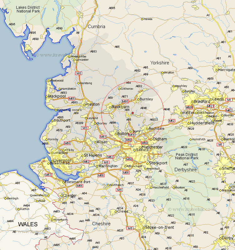
Lancashire Map Showing Location of Crashaw Booth
District: Rossendale
Easting: 381303 Northing: 424538
Latitude: 53.72 Longitude: -2.28
 = Crashaw Booth
Easting: 381303 Northing: 424538
Latitude: 53.72 Longitude: -2.28
= Crashaw Booth
This Crashaw Booth map below is supplied by Google. Use the tools in the top left corner to zoom into street level or zoom out for a road map, you may also need to zoom in to see Crashaw Booth on the map. Click and drag the map to move around. If the map fails to load try and refresh your browser or zoom in or out (+ or -).
Update - it seems Google no longer allow people to use their maps for free! This Crashaw Booth map sometimes loads and sometimes gives a error. I am working on a solution.
Closest 30 Towns or Cities to Crashaw Booth (Population over 500)
Rawtenstall 1.86km Haslingden 3.78km Edenfield 5.67km Bacup 6.84km Accrington 7.08km Church 7.55km Hapton 7.72km Padiham 7.72km Oswaldtwistle 7.89km Altham 8.11km Simonstone 8.61km Clayton le Moors 8.61km Clayton le Moor 8.61km Clayton-le-Moors 8.61km Rishton 9.52km Ramsbottom 9.53km Burnley 9.83km Whitworth 9.92km Great Harwood 11.48km Sabden 11.59km Brierfield 11.6km Turton 12.04km Darwen 12.21km Wardle 12.35km Bury 13.02km Tottington 13.39km Blackburn 13.67km Nelson 14.07km Whalley 14.16km Rochdale 14.17km