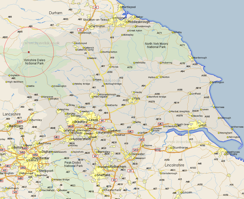
Yorkshire Map Showing Location of Cotterdale
District: Richmondshire
Easting: 383745 Northing: 493127
Latitude: 54.33 Longitude: -2.25
 = Cotterdale
Easting: 383745 Northing: 493127
Latitude: 54.33 Longitude: -2.25
= Cotterdale
This Cotterdale map below is supplied by Google. Use the tools in the top left corner to zoom into street level or zoom out for a road map, you may also need to zoom in to see Cotterdale on the map. Click and drag the map to move around. If the map fails to load try and refresh your browser or zoom in or out (+ or -).
Update - it seems Google no longer allow people to use their maps for free! This Cotterdale map sometimes loads and sometimes gives a error. I am working on a solution.
Closest 30 Towns or Cities to Cotterdale (Population over 500)
Hawes 4.92km Bradley 22.51km Ingleton 24.77km Clapham 27.35km Leyburn 28.35km Middleham 28.66km Burton in Lonsdale 28.87km Settle 29.66km Bentham 30.61km High Bentham 30.61km Giggleswick 31.52km Richmond 34.28km Grassington 34.35km Threshfield 34.97km Gilling 36.28km Long Preston 37.06km Hellifield 38.98km Gargrave 40.13km Catterick 40.14km Melsonby 40.29km Middleton Tyas 40.95km Masham 41.06km Crakehall 41.24km Barton 41.57km Bewerley 41.96km Grewelthorpe 42.39km Scorton 42.48km Kirkby Malzeard 43.16km Skipton 43.5km Bedale 43.61km