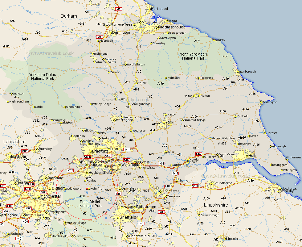
Yorkshire Map Showing Location of Cartworth
District: Kirklees
Easting: 414353 Northing: 405978
Latitude: 53.55 Longitude: -1.78
 = Cartworth
Easting: 414353 Northing: 405978
Latitude: 53.55 Longitude: -1.78
= Cartworth
This Cartworth map below is supplied by Google. Use the tools in the top left corner to zoom into street level or zoom out for a road map, you may also need to zoom in to see Cartworth on the map. Click and drag the map to move around. If the map fails to load try and refresh your browser or zoom in or out (+ or -).
Update - it seems Google no longer allow people to use their maps for free! This Cartworth map sometimes loads and sometimes gives a error. I am working on a solution.
Closest 30 Towns or Cities to Cartworth (Population over 500)
Holmfirth 1.1km Holme 3.3km Dunford Bridge 4.31km Honley 5.67km Meltham 5.75km Shepley 5.75km Kirkburton 7.82km Denby Dale 7.93km Shelley 8.63km Huddersfield 11.12km Penistone 11.62km Emley 12.37km Saddleworth 13.21km Cawthorne 13.34km Stocksbridge 14.21km Silkstone 14.44km Mirfield 14.56km Elland 15.18km Bretton 16.11km West Bretton 16.11km Middletown 16.43km Middlestown 16.43km Dodworth 16.62km Brighouse 16.68km Darton 16.92km Ripponden 17.01km Liversedge 17.56km Wortley 18.12km Heckmondwike 18.37km Woolley 18.46km