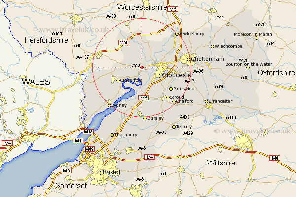
Gloucestershire Map Showing Location of Bulley
District: Forest of Dean
Easting: 375903 Northing: 218787
Latitude: 51.87 Longitude: -2.35
 = Bulley
Easting: 375903 Northing: 218787
Latitude: 51.87 Longitude: -2.35
= Bulley
This Bulley map below is supplied by Google. Use the tools in the top left corner to zoom into street level or zoom out for a road map, you may also need to zoom in to see Bulley on the map. Click and drag the map to move around. If the map fails to load try and refresh your browser or zoom in or out (+ or -).
Update - it seems Google no longer allow people to use their maps for free! This Bulley map sometimes loads and sometimes gives a error. I am working on a solution.
Closest 30 Towns or Cities to Bulley (Population over 500)
Huntley 3.43km Tibberton 3.7km Hartpury 6.53km Hardwicke 6.54km Longhope 6.87km Quedgeley 7.2km Gloucester 7.81km Corse 8.16km Newent 8.16km Milcheldean 9.16km Mitcheldean 9.16km Ashleworth 9.36km Newnham 9.37km Newham 9.37km Innsworth 10.46km Drybrook 10.47km Cinderford 10.72km Frampton 11.18km Frampton on Severn 11.18km Frampton-on-Severn 11.18km Hucclecote 11.6km Awre 12.51km Churchdown 12.72km Brockworth 12.73km Redmarley D'Abitot 12.97km Randwick 13.07km Staverton 13.75km Stonehouse 13.76km Dymock 14.17km Painswick 14.74km