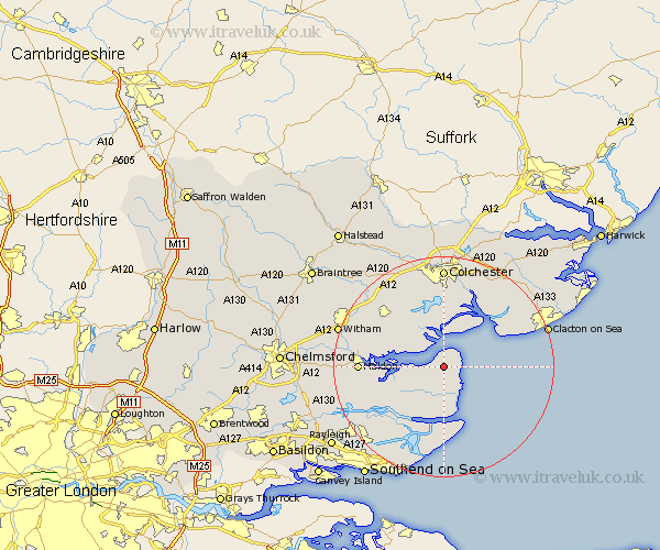
Essex Map Showing Location of Bradwell
District: Maldon
Easting: 600301 Northing: 206028
Latitude: 51.72 Longitude: 0.9
 = Bradwell
Easting: 600301 Northing: 206028
Latitude: 51.72 Longitude: 0.9
= Bradwell
This Bradwell map below is supplied by Google. Use the tools in the top left corner to zoom into street level or zoom out for a road map, you may also need to zoom in to see Bradwell on the map. Click and drag the map to move around. If the map fails to load try and refresh your browser or zoom in or out (+ or -).
Update - it seems Google no longer allow people to use their maps for free! This Bradwell map sometimes loads and sometimes gives a error. I am working on a solution.
Closest 30 Towns or Cities to Bradwell (Population over 500)
Tillingham 3.89km West Mersea 5.56km Tollesbury 5.9km Southminster 8.73km Tolleshunt D'Arcy 8.85km Tolleshunt Major 9.9km Goldhanger 10.5km Tolleshunt Knights 10.92km Mayland 10.94km Peldon 11.12km Burnham 12.04km Burnham-on-Crouch 12.04km Burnham on Crouch 12.04km Althorne 12.73km Latchingdon and Snoreham 12.76km Snoreham 12.76km Latchingdon 12.76km Brightlingsea 13.04km Fingringhoe 13.17km Layer de la Haye 13.41km Birch 14.18km Tiptree 14.74km Maldon 14.93km Malden 14.93km Heybridge 15.04km Rowhedge 15.22km Wivenhoe 15.52km Winehoe 15.52km Wyvenhoe 15.52km St Osyth 15.65km