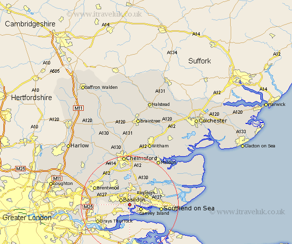
Essex Map Showing Location of Bowers Gifford
District: Basildon
Easting: 574468 Northing: 186511
Latitude: 51.55 Longitude: 0.52
 = Bowers Gifford
Easting: 574468 Northing: 186511
Latitude: 51.55 Longitude: 0.52
= Bowers Gifford
This Bowers Gifford map below is supplied by Google. Use the tools in the top left corner to zoom into street level or zoom out for a road map, you may also need to zoom in to see Bowers Gifford on the map. Click and drag the map to move around. If the map fails to load try and refresh your browser or zoom in or out (+ or -).
Update - it seems Google no longer allow people to use their maps for free! This Bowers Gifford map sometimes loads and sometimes gives a error. I am working on a solution.
Closest 30 Towns or Cities to Bowers Gifford (Population over 500)
Benfleet 2.96km South Benfleet 2.96km Basildon 3.92km Canvey Island 4.97km Wickford 5.56km Corringham 5.67km Rawreth 6.55km Great Burstead 7.84km Rayleigh 7.84km Ramsden Heath 8.73km Stanford le Hope 8.88km South Hanningfield 9.26km Hockley 9.93km Billericay 10.14km Leigh 10.37km Leigh on Sea 10.37km Leigh-on-Sea 10.37km Hawkwell 11.01km West Hanningfield 11.18km Rettendon 11.36km Woodham Ferrers 12.52km Stock 12.52km Southend 12.81km Southend on Sea 12.81km Southend-on-Sea 12.81km Herongate 12.91km East Hanningfield 13.18km Ingrave 13.2km Rochford 14.31km Grays Thurrock 14.7km