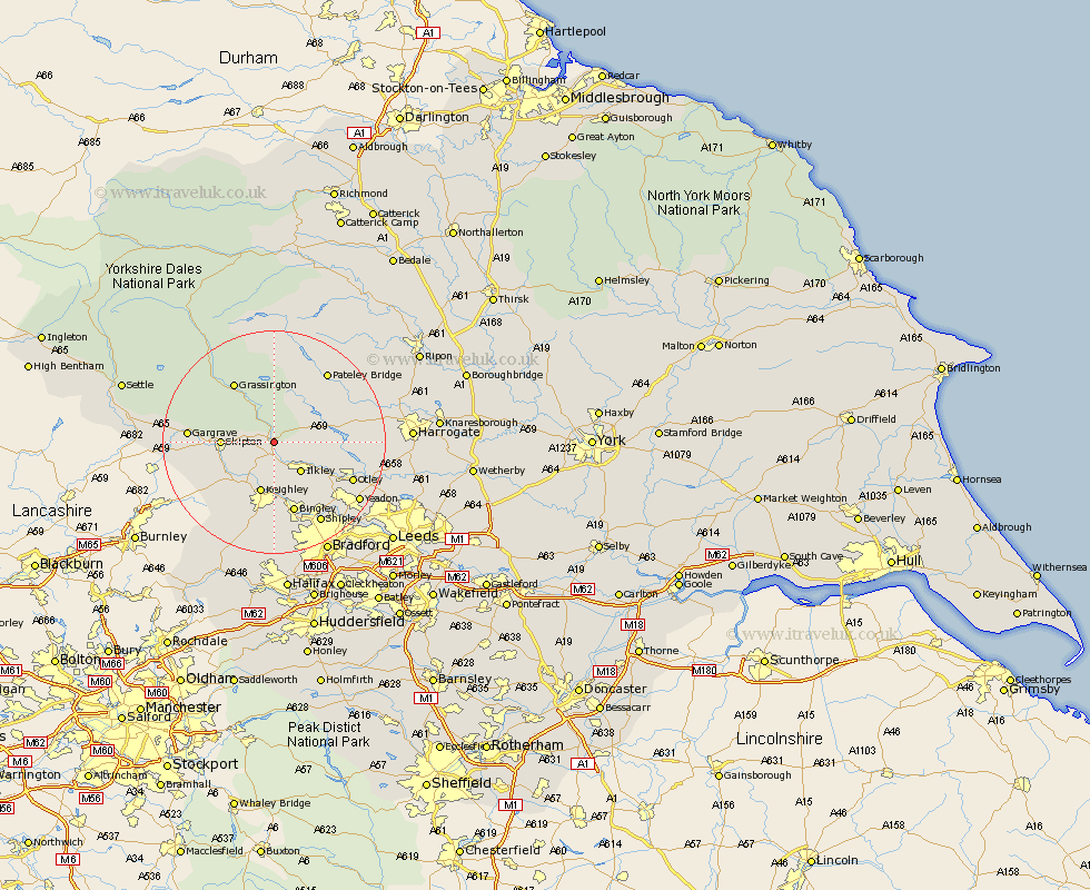
Yorkshire Map Showing Location of Bolton Bridge
District: Craven
Easting: 407653 Northing: 452319
Latitude: 53.97 Longitude: -1.88
 = Bolton Bridge
Easting: 407653 Northing: 452319
Latitude: 53.97 Longitude: -1.88
= Bolton Bridge
This Bolton Bridge map below is supplied by Google. Use the tools in the top left corner to zoom into street level or zoom out for a road map, you may also need to zoom in to see Bolton Bridge on the map. Click and drag the map to move around. If the map fails to load try and refresh your browser or zoom in or out (+ or -).
Update - it seems Google no longer allow people to use their maps for free! This Bolton Bridge map sometimes loads and sometimes gives a error. I am working on a solution.
Closest 30 Towns or Cities to Bolton Bridge (Population over 500)
Addingham 3.71km Embsay 6.54km Ilkley 7.07km Silsden 8.11km Skipton 8.72km Keighley 9.53km Steeton 10.25km Burley in Wharfedale 10.35km Burley 10.35km Cononley 10.35km Glusburn 10.65km Sutton-in-Craven 11.35km Carleton 11.52km Carlton 11.52km Threshfield 12.72km Grassington 12.89km Bingley 13.38km Menston 13.51km Darley 14.09km Gargrave 14.29km Dacre 14.3km Bewerley 15.04km Otley 15.05km Baildon 15.06km Guiseley 15.58km Earby 16.25km Shipley 16.69km Wilsden 16.71km Cullingworth 16.72km Haworth 17.24km