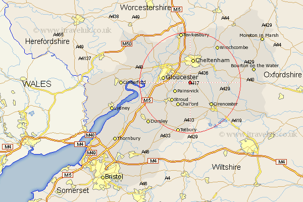
Gloucestershire Map Showing Location of Birdlip
District: Cotswold
Easting: 393107 Northing: 213173
Latitude: 51.82 Longitude: -2.1
 = Birdlip
Easting: 393107 Northing: 213173
Latitude: 51.82 Longitude: -2.1
= Birdlip
This Birdlip map below is supplied by Google. Use the tools in the top left corner to zoom into street level or zoom out for a road map, you may also need to zoom in to see Birdlip on the map. Click and drag the map to move around. If the map fails to load try and refresh your browser or zoom in or out (+ or -).
Update - it seems Google no longer allow people to use their maps for free! This Birdlip map sometimes loads and sometimes gives a error. I am working on a solution.
Closest 30 Towns or Cities to Birdlip (Population over 500)
Leckhampton 5.68km Shurdington 5.68km Brockworth 5.89km Charlton Kings 6.01km Hucclecote 6.82km Painswick 6.83km Churchdown 8.71km Cheltenham 9.33km Innsworth 10.1km Stroud 10.12km Chalford 10.35km Withington 10.47km Gloucester 10.47km North Cerney 10.72km Andoversford 11.71km Randwick 11.72km Staverton 12.02km Cicester 12.27km Cirencester 12.27km Quedgeley 12.6km Chedworth 12.74km Swindon 12.97km Southam 13.41km Hardwicke 13.75km Minchinhampton 13.76km Woodchester 14.42km Stonehouse 14.63km Bishops Cleeve 15km Avening 15.53km Nailsworth 16.35km