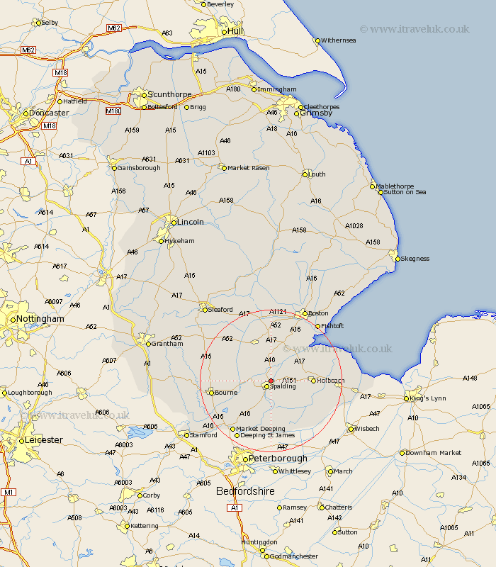
Lincolnshire Map Showing Location of Pinchbeck
Population: 3584
Area Size (ha): 144
District: South Holland
Easting: 524709 Northing: 324134
Latitude: 52.8 Longitude: -0.15
 = Pinchbeck
Area Size (ha): 144
District: South Holland
Easting: 524709 Northing: 324134
Latitude: 52.8 Longitude: -0.15
= Pinchbeck
This Pinchbeck map below is supplied by Google. Use the tools in the top left corner to zoom into street level or zoom out for a road map, you may also need to zoom in to see Pinchbeck on the map. Click and drag the map to move around. If the map fails to load try and refresh your browser or zoom in or out (+ or -).
Update - it seems Google no longer allow people to use their maps for free! This Pinchbeck map sometimes loads and sometimes gives a error. I am working on a solution.
Closest 30 Towns or Cities to Pinchbeck (Population over 500)
Spalding 2.17km Surfleet 3.87km Gosberton 5.56km Weston 5.6km Moulton 6.98km Quadring 7.5km Cowbit 7.75km Whaplode 8.06km Deeping Saint Nicholas 9.86km Deeping St Nicholas 9.86km Deeping St. Nicholas 9.86km Holbeach 11.2km Donington 11.62km Sutterton 11.99km Bicker 13.02km Pointon 13.51km Kirton 14.61km Rippingale 14.68km Fleet 14.69km Morton 14.69km Swineshead 14.82km Croyland 14.82km Crowland 14.82km Leverington 14.87km Billingborough 15.41km Frampton 15.76km Bourn 16.12km Bourne 16.12km Sutton Saint James 16.35km Sutton St. James 16.35km