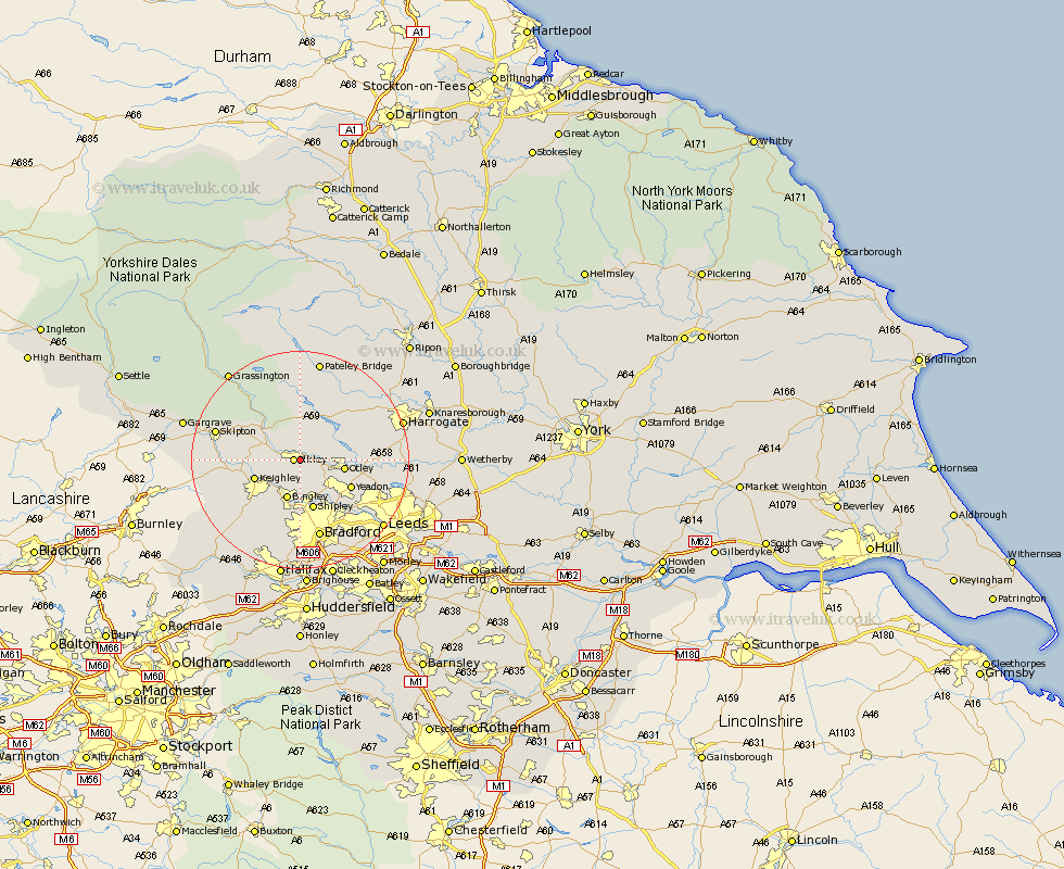
Yorkshire Map Showing Location of Ben Rhydding
District: Bradford
Easting: 413134 Northing: 446769
Latitude: 53.92 Longitude: -1.8
 = Ben Rhydding
Easting: 413134 Northing: 446769
Latitude: 53.92 Longitude: -1.8
= Ben Rhydding
This Ben Rhydding map below is supplied by Google. Use the tools in the top left corner to zoom into street level or zoom out for a road map, you may also need to zoom in to see Ben Rhydding on the map. Click and drag the map to move around. If the map fails to load try and refresh your browser or zoom in or out (+ or -).
Update - it seems Google no longer allow people to use their maps for free! This Ben Rhydding map sometimes loads and sometimes gives a error. I am working on a solution.
Closest 30 Towns or Cities to Ben Rhydding (Population over 500)
Ilkley 1.09km Burley in Wharfedale 3.27km Burley 3.27km Menston 5.73km Addingham 5.76km Bingley 7.73km Baildon 7.73km Guiseley 7.79km Otley 7.87km Keighley 8.5km Silsden 8.93km Shipley 9.53km Yeadon 10.36km Steeton 10.5km Wilsden 11.95km Poole 12.15km Pool 12.15km Pool-in-Wharfedale 12.15km Sutton-in-Craven 12.57km Bramhope 12.57km Cullingworth 12.91km Embsay 13.22km Glusburn 13.23km Arthington 13.23km Arthington Junction Station 13.23km Cononley 14.19km Horsforth 14.33km Darley 14.52km Haworth 14.85km Bradford 15.19km