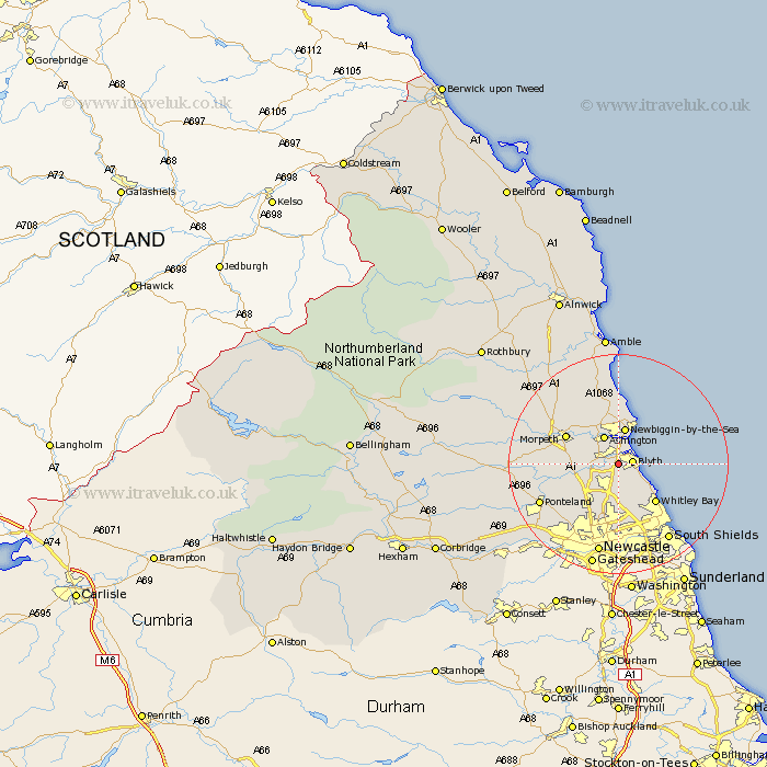
Northumberland Map Showing Location of Bebside
District: Blyth Valley
Easting: 428699 Northing: 580355
Latitude: 55.12 Longitude: -1.55
 = Bebside
Easting: 428699 Northing: 580355
Latitude: 55.12 Longitude: -1.55
= Bebside
This Bebside map below is supplied by Google. Use the tools in the top left corner to zoom into street level or zoom out for a road map, you may also need to zoom in to see Bebside on the map. Click and drag the map to move around. If the map fails to load try and refresh your browser or zoom in or out (+ or -).
Update - it seems Google no longer allow people to use their maps for free! This Bebside map sometimes loads and sometimes gives a error. I am working on a solution.
Closest 30 Towns or Cities to Bebside (Population over 500)
Blythe 2.32km Blyth 2.32km Bedlington 2.86km Dudley 5.12km Seaton Sluice 5.33km Ashington 5.74km Seaton Delaval 5.95km Cramlington 5.95km Newbiggin by the Sea 6.81km Newbiggin-by-the-Sea 6.81km Hepscott 7.36km Seghill 7.42km Stannington 7.65km Pegswood 7.68km Shiremoor 9.06km Killingworth 9.33km Whitley Bay 9.55km Whitley 9.55km Morpeth 10.14km Lynemouth 10.73km Ellington 11.17km Hebron 11.25km Dinnington 11.27km Tynemouth 12.46km Longbenton 13.02km Long Benton 13.02km North Shields 13.39km Gosforth 13.65km Wallsend on Tyne 13.95km Wallsend-on-Tyne 13.95km