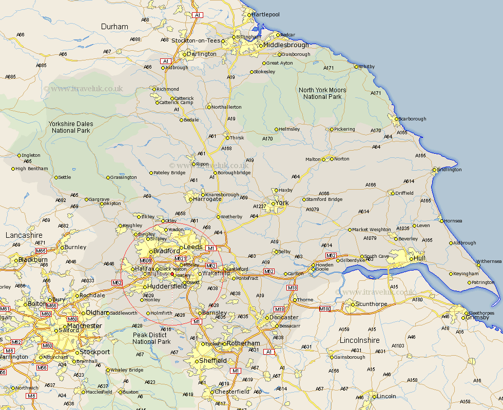
Yorkshire Map Showing Location of Batley Carr
District: Kirklees
Easting: 424205 Northing: 422705
Latitude: 53.7 Longitude: -1.63
 = Batley Carr
Easting: 424205 Northing: 422705
Latitude: 53.7 Longitude: -1.63
= Batley Carr
This Batley Carr map below is supplied by Google. Use the tools in the top left corner to zoom into street level or zoom out for a road map, you may also need to zoom in to see Batley Carr on the map. Click and drag the map to move around. If the map fails to load try and refresh your browser or zoom in or out (+ or -).
Update - it seems Google no longer allow people to use their maps for free! This Batley Carr map sometimes loads and sometimes gives a error. I am working on a solution.
Closest 30 Towns or Cities to Batley Carr (Population over 500)
Batley 1.06km Drewsbury 1.1km Dewsbury 1.1km Heckmondwike 2.19km Liversedge 4.39km Morley 4.95km Mirfield 4.96km Ossett 5.74km Cleckheaton 5.79km Middletown 5.98km Middlestown 5.98km Horbury 6.62km Emley 9.26km Pudsey 9.52km Lofthouse 9.52km Brighouse 9.87km Wakefield 9.87km Stanley 9.87km Crigglestone 9.92km West Bretton 10.25km Bretton 10.25km Rothwell 11.33km Huddersfield 11.34km Leeds 11.6km Shelley 11.6km Kirkburton 11.96km Bradford 12.03km Elland 13.3km Woolley 13.52km Shepley 14.09km