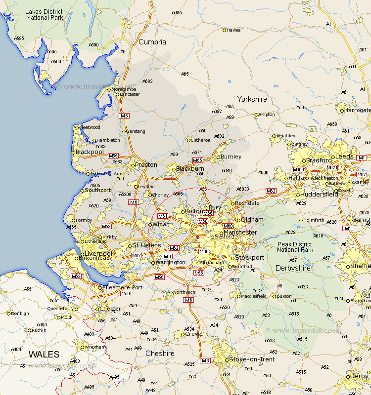
Lancashire Map Showing Location of Barton Upon Irwell
District: Salford
Easting: 376776 Northing: 398593
Latitude: 53.48 Longitude: -2.35
 = Barton Upon Irwell
Easting: 376776 Northing: 398593
Latitude: 53.48 Longitude: -2.35
= Barton Upon Irwell
This Barton Upon Irwell map below is supplied by Google. Use the tools in the top left corner to zoom into street level or zoom out for a road map, you may also need to zoom in to see Barton Upon Irwell on the map. Click and drag the map to move around. If the map fails to load try and refresh your browser or zoom in or out (+ or -).
Update - it seems Google no longer allow people to use their maps for free! This Barton Upon Irwell map sometimes loads and sometimes gives a error. I am working on a solution.
Closest 30 Towns or Cities to Barton Upon Irwell (Population over 500)
Eccles 1.1km Swinton 1.86km Urmston 3.7km Pendlebury 3.88km Stretford 4.31km Walkden 4.97km Salford 5.51km Kearsley 5.98km Prestwich 7.1km Irlam 7.1km Little Lever 7.5km Radcliffe 7.5km Whitefield 8.12km Farnworth 8.12km Tyldesley 8.56km Manchester 9.01km Atherton 10.59km Leigh 11.03km Middleton 12.38km Bolton 12.41km Tottington 13.02km Droylesden 13.23km Droylsden 13.23km Westhoughton 13.28km Bromley Cross 13.39km Bradshaw 13.39km Bury 13.39km Heywood 14.19km Failsworth 14.8km Chadderton 14.81km