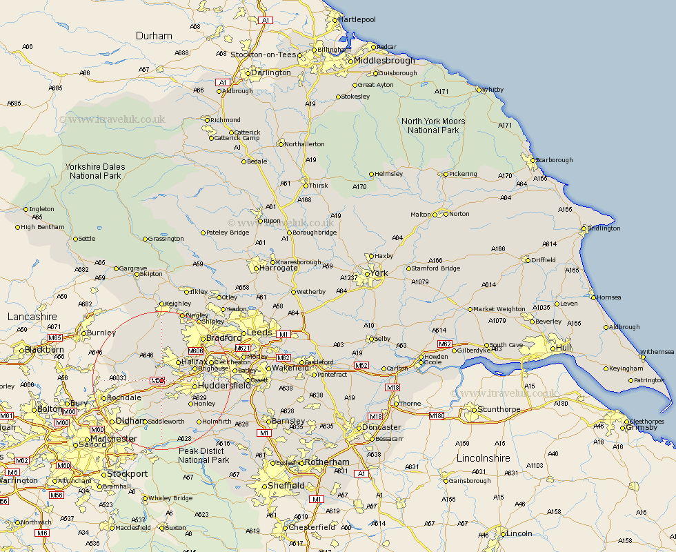
Yorkshire Map Showing Location of Barkisland
District: Calderdale
Easting: 405505 Northing: 418942
Latitude: 53.67 Longitude: -1.92
 = Barkisland
Easting: 405505 Northing: 418942
Latitude: 53.67 Longitude: -1.92
= Barkisland
This Barkisland map below is supplied by Google. Use the tools in the top left corner to zoom into street level or zoom out for a road map, you may also need to zoom in to see Barkisland on the map. Click and drag the map to move around. If the map fails to load try and refresh your browser or zoom in or out (+ or -).
Update - it seems Google no longer allow people to use their maps for free! This Barkisland map sometimes loads and sometimes gives a error. I am working on a solution.
Closest 30 Towns or Cities to Barkisland (Population over 500)
Ripponden 2.2km Luddenden Foot 5.67km Elland 5.79km Mytholmroyd 7.08km Halifax 7.08km Huddersfield 8.98km Brighouse 9.53km Meltham 10.26km Honley 10.69km Queensbury 11.12km Heptonstall 11.36km Hebden Bridge 11.36km Todmorden 12.3km Denholme 13.01km Saddleworth 13.7km Holme 14.09km Cleckheaton 14.29km Liversedge 14.74km Oxenhope 14.98km Mirfield 15.37km Kirkburton 16.1km Shepley 16.12km Holmfirth 16.32km Cullingworth 16.71km Haworth 16.82km Heckmondwike 16.87km Bradford 16.98km Wilsden 17km Cornholme 17.05km Shelley 17.08km