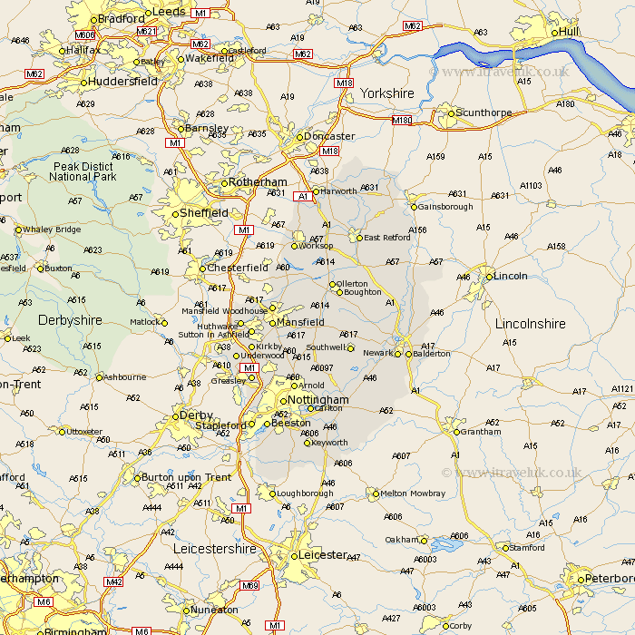
Nottinghamshire Map Showing Location of Keyworth
District: Allerdale
Easting: 317577 Northing: 549483
Latitude: 54.83 Longitude: -3.28
 = Keyworth
Easting: 317577 Northing: 549483
Latitude: 54.83 Longitude: -3.28
= Keyworth
This Keyworth map below is supplied by Google. Use the tools in the top left corner to zoom into street level or zoom out for a road map, you may also need to zoom in to see Keyworth on the map. Click and drag the map to move around. If the map fails to load try and refresh your browser or zoom in or out (+ or -).
Update - it seems Google no longer allow people to use their maps for free! This Keyworth map sometimes loads and sometimes gives a error. I am working on a solution.
Closest 30 Towns or Cities to Keyworth (Population over 500)
Stainton 135.38km Nunthorpe 140.56km Lowdham 174.38km Harworth 213.7km Styrrup 214.36km Bircotes 214.43km Misson 215.45km Blyth 217.88km Shireoaks 217.94km Mattersey 219.52km Ramskill 220.06km Ranskill 220.06km Everton 220.27km Worksop 220.78km Misterton 220.84km Gringley 222.53km Gringley on the Hill 222.53km Gringley-on-the-Hill 222.53km Sutton 222.92km Walkeringham 224.25km Beckingham 225.58km Hayton 226.61km Clarborough 226.61km East Retford 227.89km Pleasley 228.02km Warsop 228.91km Huthwaite 229.22km Hucknall under Huthwaite 229.22km Hucknall 229.22km Hucknall-under-Huthwaite 229.22km