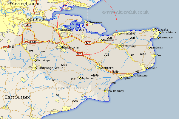
Kent Map Showing Location of Queenborough
Population: 3632
Area Size (ha): 85
District: Swale
Easting: 592356 Northing: 172317
Latitude: 51.42 Longitude: 0.77
 = Queenborough
Area Size (ha): 85
District: Swale
Easting: 592356 Northing: 172317
Latitude: 51.42 Longitude: 0.77
= Queenborough
This Queenborough map below is supplied by Google. Use the tools in the top left corner to zoom into street level or zoom out for a road map, you may also need to zoom in to see Queenborough on the map. Click and drag the map to move around. If the map fails to load try and refresh your browser or zoom in or out (+ or -).
Update - it seems Google no longer allow people to use their maps for free! This Queenborough map sometimes loads and sometimes gives a error. I am working on a solution.
Closest 30 Towns or Cities to Queenborough (Population over 500)
Sheerness 1.85km Minster 3.47km Grain 5.07km Iwade 6.02km Eastchurch 7.18km Bobbing 8.74km Lower Halstow 8.89km Sittingbourne 9.35km Warden 9.43km Allhallows 9.81km Upchurch 9.82km Teynham 9.9km Newington 10.16km Stoke 10.56km Leysdown-on-Sea 10.57km Leysdown 10.57km Leysdown on Sea 10.57km Bapchild 11.12km Tunstall 11.65km Borden 12.04km Lynsted 13.03km Linsted 13.03km Stockbury 13.76km Oare 13.76km Bredgar 13.78km Hoo 14km Gillingham 14.45km Faversham 14.47km Ospringe 14.72km High Halstow 15.14km