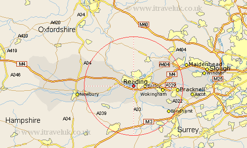
Berkshire Map Showing Location of Reading
Population: 211606
Area Size (ha): 5457
Easting: 469506 Northing: 171006
Latitude: 51.43 Longitude: -1
 = Reading
Area Size (ha): 5457
Easting: 469506 Northing: 171006
Latitude: 51.43 Longitude: -1
= Reading
This Reading map below is supplied by Google. Use the tools in the top left corner to zoom into street level or zoom out for a road map, you may also need to zoom in to see Reading on the map. Click and drag the map to move around. If the map fails to load try and refresh your browser or zoom in or out (+ or -).
Update - it seems Google no longer allow people to use their maps for free! This Reading map sometimes loads and sometimes gives a error. I am working on a solution.
Closest 30 Towns or Cities to Reading (Population over 500)
Tilehurst 2.96km Burghfield 4.37km Earley 4.62km Theale 4.62km Shinfield 5.07km Aberfield 6.86km Arborfield 6.86km Stratfield Mortimer 7.49km Mortimer 7.49km Sonning 7.86km Pangbourne 8.01km Swallowfield 8.18km Woodley 8.3km Bradfield 9.24km Winnersh 9.43km Barkham 9.82km Beenham 10.56km Wargrave 10.78km Wagrave 10.78km Basildon 10.97km Twyford 11.04km Wokingham 11.7km Aldermaston 11.8km Remenham 13.74km Bucklebury 13.86km Streatley 13.93km Finchampstead 13.93km Waltham St Lawrence 14.35km Waltham Saint Lawrence 14.35km Waltham St. Lawrence 14.35km