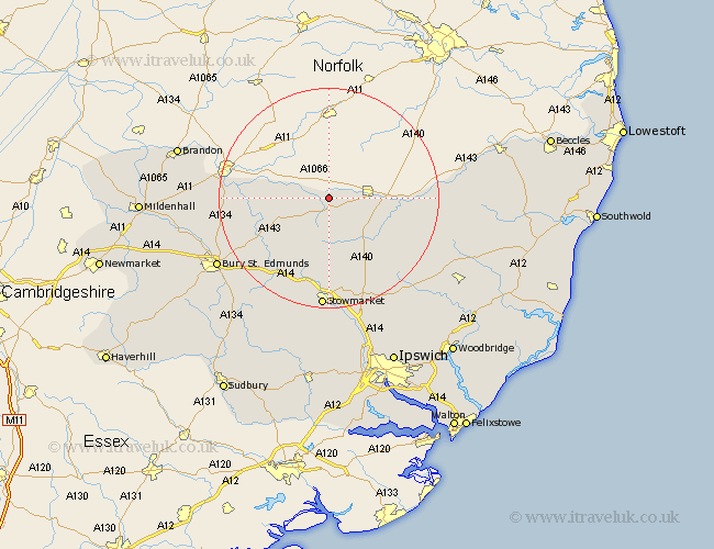
Suffolk Map Showing Location of Redgrave
Population: 553
District: Mid Suffolk
Easting: 604221 Northing: 278572
Latitude: 52.37 Longitude: 1
 = Redgrave
District: Mid Suffolk
Easting: 604221 Northing: 278572
Latitude: 52.37 Longitude: 1
= Redgrave
This Redgrave map below is supplied by Google. Use the tools in the top left corner to zoom into street level or zoom out for a road map, you may also need to zoom in to see Redgrave on the map. Click and drag the map to move around. If the map fails to load try and refresh your browser or zoom in or out (+ or -).
Update - it seems Google no longer allow people to use their maps for free! This Redgrave map sometimes loads and sometimes gives a error. I am working on a solution.
Closest 30 Towns or Cities to Redgrave (Population over 500)
Wortham 3.87km Botesdale 3.88km Hopton 4.53km Hepworth 6.77km Barningham 7.04km Gislingham 8.16km Stanton 8.78km Badwell Ash 10.87km Bacton 11.18km Eye 11.61km Bardwell 11.61km Thorndon 12.97km Ixworth 13.54km Hoxne 13.71km Mendlesham 13.75km Honington 14.08km Troston 15.73km Norton 15.83km Pakenham 15.87km Elmswell 15.88km Haughley 16.72km Old Newton 16.72km Thurston 17.99km Woolpit 18.01km Barnham 18.11km Stradbroke 18.95km Great Barton 19.37km Worlingworth 20.31km Stowmarket 20.42km Fressingfield 20.46km