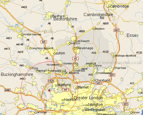
Hertfordshire Map Showing Location of Rickmansworth
Population: 10438
Area Size (ha): 285
District: Three Rivers
Easting: 506108 Northing: 193886
Latitude: 51.63 Longitude: -0.47
 = Rickmansworth
Area Size (ha): 285
District: Three Rivers
Easting: 506108 Northing: 193886
Latitude: 51.63 Longitude: -0.47
= Rickmansworth
This Rickmansworth map below is supplied by Google. Use the tools in the top left corner to zoom into street level or zoom out for a road map, you may also need to zoom in to see Rickmansworth on the map. Click and drag the map to move around. If the map fails to load try and refresh your browser or zoom in or out (+ or -).
Update - it seems Google no longer allow people to use their maps for free! This Rickmansworth map sometimes loads and sometimes gives a error. I am working on a solution.
Closest 30 Towns or Cities to Rickmansworth (Population over 500)
Croxley Green 1.15km Chorleywood 2.18km Sarratt 5.68km Watford 5.91km Kings Langley 7.5km Chipperfield 7.51km Bushey 8.05km Abbots Langley 8.18km Aldenham 8.87km Bovingdon 10.35km Radlett 11.75km Elstree 12.65km Hemel Hempstead 12.98km Borehamwood 13.93km Berkhamsted 14.19km Berkhampstead 14.19km Shenley 14.87km London Olney 15.68km London Colney 15.68km St. Albans 15.9km St Albans 15.9km Saint Albans 15.9km Great Gaddesden 16.84km Northchurch 16.87km North Mymms 17.58km Redbourn 17.64km Colney Heath 18.62km Wigginton 18.76km Sandridge 18.76km Little Gaddesden 19.4km