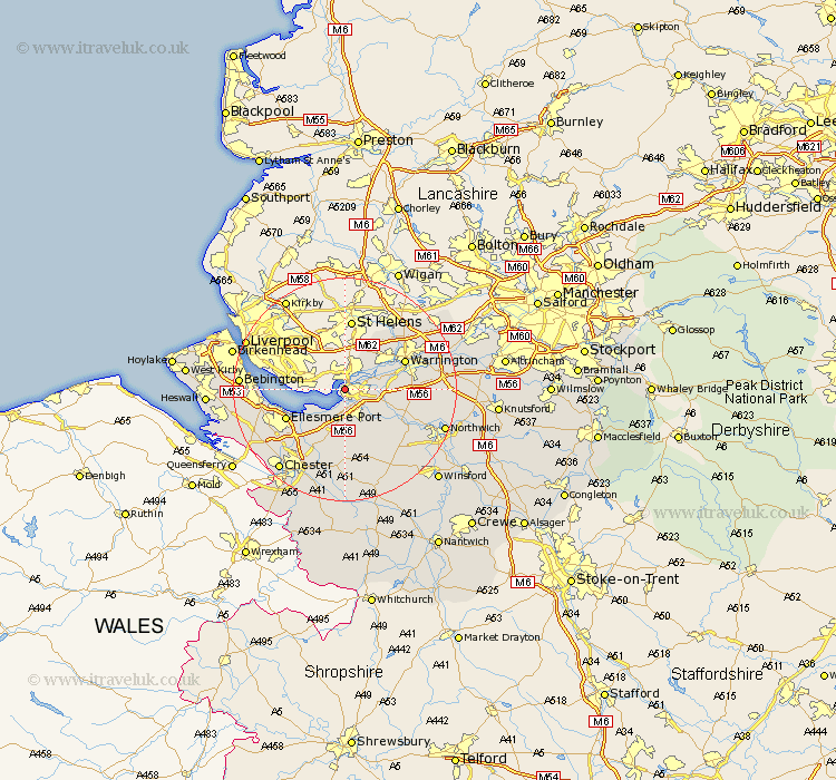
Cheshire Map Showing Location of Runcorn
Population: 63043
Area Size (ha): 1927
Easting: 350060 Northing: 382113
Latitude: 53.33 Longitude: -2.75
 = Runcorn
Area Size (ha): 1927
Easting: 350060 Northing: 382113
Latitude: 53.33 Longitude: -2.75
= Runcorn
This Runcorn map below is supplied by Google. Use the tools in the top left corner to zoom into street level or zoom out for a road map, you may also need to zoom in to see Runcorn on the map. Click and drag the map to move around. If the map fails to load try and refresh your browser or zoom in or out (+ or -).
Update - it seems Google no longer allow people to use their maps for free! This Runcorn map sometimes loads and sometimes gives a error. I am working on a solution.
Closest 30 Towns or Cities to Runcorn (Population over 500)
Weston 2.15km Widnes 2.16km Hale 3.32km Halton 3.8km Frodsham 3.87km Preston on the Hill 6.89km Preston-on-the-Hill 6.89km Preston Brook 6.89km Helsby 7.49km Kingsley 9.25km Dunham-on-the-Hill 9.84km Dunham on the Hill 9.84km Dunham 9.84km Elton 10.27km Sankey 10.45km Great Sankey 10.45km Warrington 11.4km Ellesmere Port 11.41km Stretton 12.17km Burtonwood 12.42km Acton 12.42km Ashton 13.01km Appleton 13.41km Kelsall Hill 13.7km Kelshall Hill 13.7km Kelsall 13.7km Mickle Trafford 13.71km Delamere 14.1km Weaverham 14.44km Tarvin 14.86km