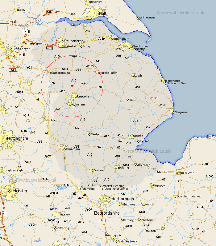
Lincolnshire Map Showing Location of Scampton
Population: 825
District: West Lindsey
Easting: 495511 Northing: 379104
Latitude: 53.3 Longitude: -0.57
 = Scampton
District: West Lindsey
Easting: 495511 Northing: 379104
Latitude: 53.3 Longitude: -0.57
= Scampton
This Scampton map below is supplied by Google. Use the tools in the top left corner to zoom into street level or zoom out for a road map, you may also need to zoom in to see Scampton on the map. Click and drag the map to move around. If the map fails to load try and refresh your browser or zoom in or out (+ or -).
Update - it seems Google no longer allow people to use their maps for free! This Scampton map sometimes loads and sometimes gives a error. I am working on a solution.
Closest 30 Towns or Cities to Scampton (Population over 500)
Ingham 3.86km Welton 5.54km Dunholme 6.65km Dunholm 6.65km Nettleham 6.66km Saxilby 6.66km Lincoln 7.74km Scothern 7.97km Skellingthorpe 8.13km Sudbrooke 8.59km Willingham 9.54km Marton 11.23km Torksey 11.23km Washingborough 11.4km Reepham 11.56km Fiskerton 11.56km Cherry Willingham 11.83km Heighington 12.96km Hykeham 13.02km North Hykeham 13.02km Thorpe 13.71km Thorpe-on-the-Hill 13.71km Thorpe on the Hill 13.71km Lea 14.26km Branston 14.58km Waddington 14.99km Eagle 15.12km Holton 15.51km North Scarle 15.7km Middle Rasen 16.19km