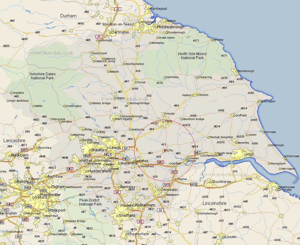
Yorkshire Map Showing Location of Selby
Population: 14971
Area Size (ha): 422
District: Selby
Easting: 461489 Northing: 432314
Latitude: 53.78 Longitude: -1.07
 = Selby
Area Size (ha): 422
District: Selby
Easting: 461489 Northing: 432314
Latitude: 53.78 Longitude: -1.07
= Selby
This Selby map below is supplied by Google. Use the tools in the top left corner to zoom into street level or zoom out for a road map, you may also need to zoom in to see Selby on the map. Click and drag the map to move around. If the map fails to load try and refresh your browser or zoom in or out (+ or -).
Update - it seems Google no longer allow people to use their maps for free! This Selby map sometimes loads and sometimes gives a error. I am working on a solution.
Closest 30 Towns or Cities to Selby (Population over 500)
Brayton 2.15km Wistow 4.31km Barlow 4.95km Riccall 5.67km Hemingbrough 5.78km Cliff Common Station 5.78km Cliffe Common 5.78km Cawood 6.46km Hambleton 6.83km Hensall 9.52km Carlton 9.83km Church Fenton 10.53km Bubwith 10.53km Escrick 11.17km Snaith 11.33km Monk Fryston 11.56km Sherburn 12.18km Sherburn in Elmet 12.18km South Milford 12.19km Ulleskelf 12.33km Whitley 12.4km Wheldrake 12.91km Pollington 12.97km Acaster Malbis 13.16km Airmyn 13.23km Rawcliffe 13.51km Howden 14.28km Knottingley 14.35km Knottingly 14.35km Brotherton 15.09km