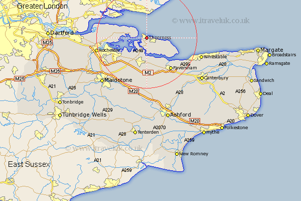
Kent Map Showing Location of Sheerness
Population: 11329
Area Size (ha): 250
District: Swale
Easting: 592287 Northing: 174163
Latitude: 51.43 Longitude: 0.77
 = Sheerness
Area Size (ha): 250
District: Swale
Easting: 592287 Northing: 174163
Latitude: 51.43 Longitude: 0.77
= Sheerness
This Sheerness map below is supplied by Google. Use the tools in the top left corner to zoom into street level or zoom out for a road map, you may also need to zoom in to see Sheerness on the map. Click and drag the map to move around. If the map fails to load try and refresh your browser or zoom in or out (+ or -).
Update - it seems Google no longer allow people to use their maps for free! This Sheerness map sometimes loads and sometimes gives a error. I am working on a solution.
Closest 30 Towns or Cities to Sheerness (Population over 500)
Queenborough 1.85km Minster 3.93km Grain 3.93km Iwade 7.76km Eastchurch 7.86km Allhallows 8.9km Warden 9.96km Lower Halstow 10.15km Bobbing 10.35km Stoke 10.4km Upchurch 10.97km Leysdown 11.04km Leysdown on Sea 11.04km Leysdown-on-Sea 11.04km Sittingbourne 11.18km Newington 11.57km Teynham 11.65km Bapchild 12.97km Tunstall 13.42km Borden 13.77km Hoo 14.36km Linsted 14.87km Lynsted 14.87km High Halstow 15.02km Gillingham 15.04km Stockbury 15.29km Oare 15.29km Bredgar 15.53km Faversham 15.93km Ospringe 16.37km