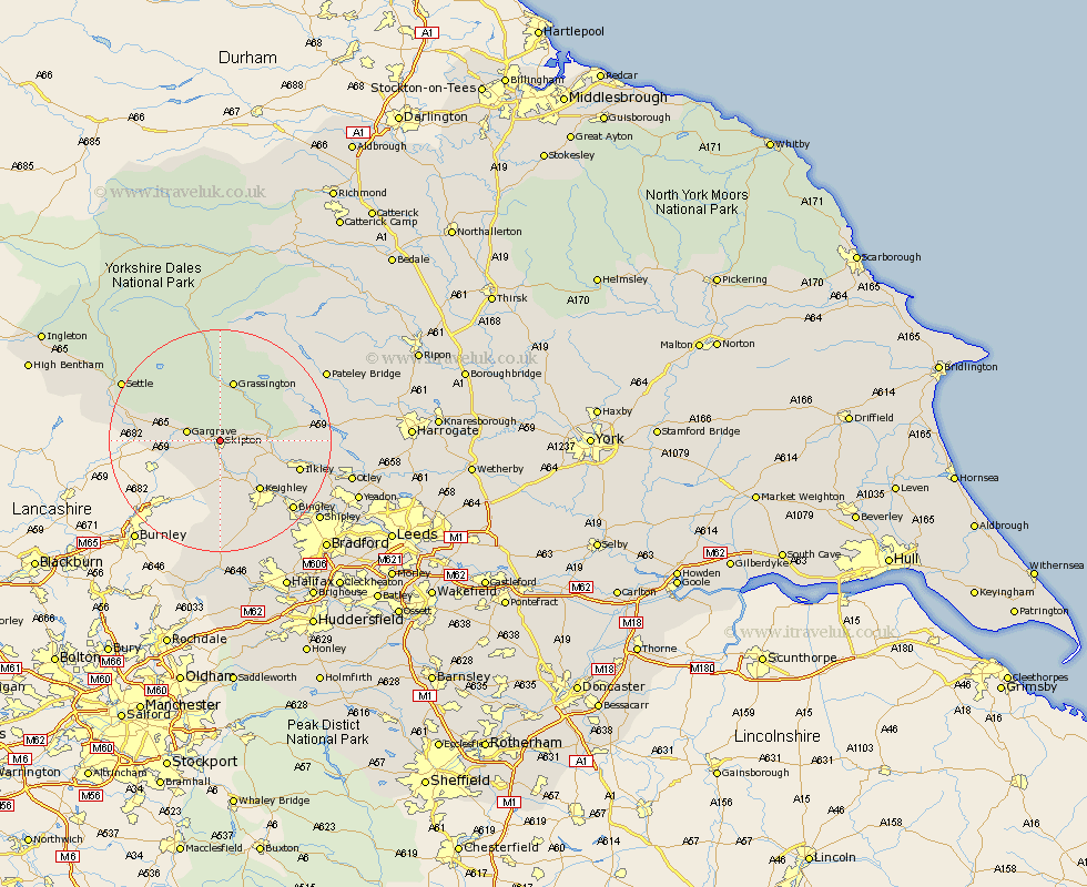
Yorkshire Map Showing Location of Skipton
Population: 13268
Area Size (ha): 325
District: Craven
Easting: 398906 Northing: 452313
Latitude: 53.97 Longitude: -2.02
 = Skipton
Area Size (ha): 325
District: Craven
Easting: 398906 Northing: 452313
Latitude: 53.97 Longitude: -2.02
= Skipton
This Skipton map below is supplied by Google. Use the tools in the top left corner to zoom into street level or zoom out for a road map, you may also need to zoom in to see Skipton on the map. Click and drag the map to move around. If the map fails to load try and refresh your browser or zoom in or out (+ or -).
Update - it seems Google no longer allow people to use their maps for free! This Skipton map sometimes loads and sometimes gives a error. I am working on a solution.
Closest 30 Towns or Cities to Skipton (Population over 500)
Embsay 2.18km Carlton 4.31km Carleton 4.31km Cononley 5.56km Gargrave 5.75km Glusburn 7.5km Earby 8.59km Silsden 9.21km Threshfield 9.26km Addingham 9.48km Sutton-in-Craven 9.53km Steeton 10.25km Grassington 11.33km Keighley 11.35km Hellifield 13.21km Ilkley 14.22km Long Preston 15.7km Haworth 17.24km Bingley 17.68km Burley 18.32km Burley in Wharfedale 18.32km Cullingworth 18.35km Giggleswick 18.78km Oxenhope 19.04km Wilsden 19.36km Settle 19.76km Menston 20.74km Bewerley 20.85km Baildon 20.89km Dacre 21.68km