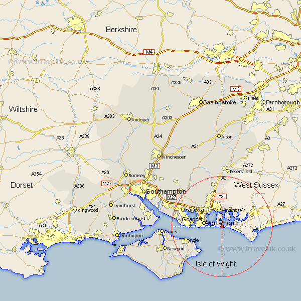
Hampshire Map Showing Location of Hayling
District: Havant
Easting: 472837 Northing: 98767
Latitude: 50.78 Longitude: -0.97
 = Hayling
Easting: 472837 Northing: 98767
Latitude: 50.78 Longitude: -0.97
= Hayling
This Hayling map below is supplied by Google. Use the tools in the top left corner to zoom into street level or zoom out for a road map, you may also need to zoom in to see Hayling on the map. Click and drag the map to move around. If the map fails to load try and refresh your browser or zoom in or out (+ or -).
Update - it seems Google no longer allow people to use their maps for free! This Hayling map sometimes loads and sometimes gives a error. I am working on a solution.
Closest 30 Towns or Cities to Hayling (Population over 500)
Southsea 7.03km Portsmouth 7.09km Havant 7.5km Emsworth 7.77km Waterloo 9.91km Waterlooville 9.91km Rowlands Castle 11.18km Gosport 11.86km Portchester 11.91km Porchester 11.91km Seaview 11.95km Bembridge 13.82km Southwick 14.03km St. Helens 14.05km St Helens 14.05km Saint Helens 14.05km Horndean 14.88km Ryde 15.13km Hambledon 16.41km Lee on Solent 16.51km Lee-on-Solent 16.51km Lee-on-the-Solent 16.51km Lee on the Solent 16.51km Clanfield 16.84km Fareham 16.93km Brading 17.03km Wickham 19.12km Sandown 19.66km Wootton 20.17km Soberton 20.37km