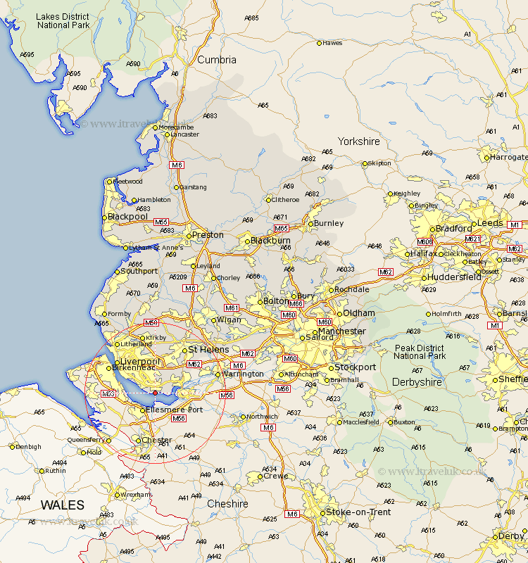
Lancashire Map Showing Location of Speke
District: Liverpool
Easting: 343402 Northing: 382187
Latitude: 53.33 Longitude: -2.85
 = Speke
Easting: 343402 Northing: 382187
Latitude: 53.33 Longitude: -2.85
= Speke
This Speke map below is supplied by Google. Use the tools in the top left corner to zoom into street level or zoom out for a road map, you may also need to zoom in to see Speke on the map. Click and drag the map to move around. If the map fails to load try and refresh your browser or zoom in or out (+ or -).
Update - it seems Google no longer allow people to use their maps for free! This Speke map sometimes loads and sometimes gives a error. I am working on a solution.
Closest 30 Towns or Cities to Speke (Population over 500)
Halewood 4.32km Huyton 7.42km Huyton with Roby 7.42km Cronton 7.84km Rainhill 9.25km Rainhull 9.25km Prescot 9.85km Prescott 9.85km Knowsley 12.98km Liverpool 13.6km Eccleston 13.71km Saint Helens 15.11km St Helens 15.11km St. Helens 15.11km Aintree 15.83km Kirkby 17.01km Melling 17.26km Litherland 17.86km Bootle 18.5km Haydock 19.18km Sefton 20.08km Crosby 20.15km Bickerstaffe 20.42km Rainford 20.66km Billinge 21.03km Thornton 21.03km Ashton 21.31km Ashton in Makerfield 21.31km Maghull 21.44km Lydiate 21.81km