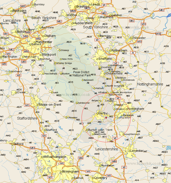
Derbyshire Map Showing Location of Spondon
Easting: 440355 Northing: 333821
Latitude: 52.9 Longitude: -1.4
 = Spondon
Latitude: 52.9 Longitude: -1.4
= Spondon
This Spondon map below is supplied by Google. Use the tools in the top left corner to zoom into street level or zoom out for a road map, you may also need to zoom in to see Spondon on the map. Click and drag the map to move around. If the map fails to load try and refresh your browser or zoom in or out (+ or -).
Update - it seems Google no longer allow people to use their maps for free! This Spondon map sometimes loads and sometimes gives a error. I am working on a solution.
Closest 30 Towns or Cities to Spondon (Population over 500)
Borrowash 1.12km Dale Abbey 4.99km Breadsall 5km Risley 5.89km West Hallam 6.49km Little Eaton 6.49km Shardlow 6.49km Weston on Trent 7.42km Weston-on-Trent 7.42km Weston upon Trent 7.42km Derby 7.66km Sawley 7.66km Sandiacre 8.04km Quarndon 8.71km Long Eaton 8.94km Duffield 9.28km Smalley 9.33km Melbourne 9.53km Ilkeston 10km Findern 10.54km Burnaston 11.33km Kilbourne 11.34km Kilburn 11.34km Kilbourn 11.34km Kirk Langley 11.77km Holbrook 11.98km Shipley Gate Station 12.44km Ticknall 12.45km Willington 12.51km Repton 12.51km