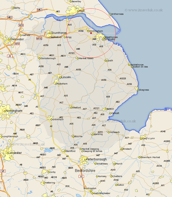
Lincolnshire Map Showing Location of Stallingborough
Population: 1195
Easting: 520250 Northing: 411195
Latitude: 53.58 Longitude: -0.18
 = Stallingborough
Easting: 520250 Northing: 411195
Latitude: 53.58 Longitude: -0.18
= Stallingborough
This Stallingborough map below is supplied by Google. Use the tools in the top left corner to zoom into street level or zoom out for a road map, you may also need to zoom in to see Stallingborough on the map. Click and drag the map to move around. If the map fails to load try and refresh your browser or zoom in or out (+ or -).
Update - it seems Google no longer allow people to use their maps for free! This Stallingborough map sometimes loads and sometimes gives a error. I am working on a solution.
Closest 30 Towns or Cities to Stallingborough (Population over 500)
Healing 2.15km Immingham 2.88km South Killingholme 3.78km Keelby 4.77km Habrough 4.78km Laceby 5.67km Great Coates 6.86km Waltham 9.23km Great Grimsby 10.41km Grimsby 10.41km Ulceby 10.57km Cleethorpes 10.57km Holton le Clay 10.69km Humberstone 11.36km Humberston 11.36km East Halton 11.38km Goxhill 13.56km Nettleton 14.19km Caistor 14.19km Barnetby 14.42km Barnetby le Wold 14.42km Tetney 15.65km North Thoresby 15.68km binbrook 16.68km Barrow upon Humber 17.25km Barrow 17.25km Barrow-on-Humber 17.25km Barrow-upon-Humber 17.25km Barrow on Humber 17.25km New Holland 17.73km