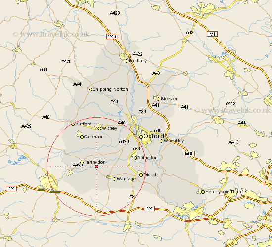
Oxfordshire Map Showing Location of Stanford In The Vale
Population: 1666
Area Size (ha): 51
District: Vale of White Horse
Easting: 434601 Northing: 192891
Latitude: 51.63 Longitude: -1.5
 = Stanford In The Vale
Area Size (ha): 51
District: Vale of White Horse
Easting: 434601 Northing: 192891
Latitude: 51.63 Longitude: -1.5
= Stanford In The Vale
This Stanford In The Vale map below is supplied by Google. Use the tools in the top left corner to zoom into street level or zoom out for a road map, you may also need to zoom in to see Stanford In The Vale on the map. Click and drag the map to move around. If the map fails to load try and refresh your browser or zoom in or out (+ or -).
Update - it seems Google no longer allow people to use their maps for free! This Stanford In The Vale map sometimes loads and sometimes gives a error. I am working on a solution.
Closest 30 Towns or Cities to Stanford In The Vale (Population over 500)
Buckland 3.71km Childrey 5.68km Faringdon 6.04km East Challow 6.54km Uffington 6.54km Kingston Bagpuze 6.84km Kingston Bagpuize 6.84km East Hanney 7.15km Hanney 7.15km Longworth 7.22km Letcombe Regis 8.17km Wantage 8.87km Clanfield 9.38km Bampton 9.55km Watchfield 9.92km Standlake 10.91km Shrivenham 11km Marcham 11.65km Steventon 12.79km Ducklington 13.03km Stanton Harcourt 13.08km Drayton 13.8km Milton 13.93km Carterton 14.19km Cumnor 14.77km Abingdon on Thames 15.4km Abingdon 15.4km Abingdon-on-Thames 15.4km Harwell 15.41km Brize Norton 15.52km