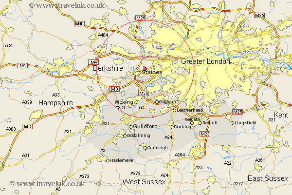
Surrey Map Showing Location of Stanwell
District: Spelthorne
Easting: 505378 Northing: 173480
Latitude: 51.45 Longitude: -0.48
 = Stanwell
Easting: 505378 Northing: 173480
Latitude: 51.45 Longitude: -0.48
= Stanwell
This Stanwell map below is supplied by Google. Use the tools in the top left corner to zoom into street level or zoom out for a road map, you may also need to zoom in to see Stanwell on the map. Click and drag the map to move around. If the map fails to load try and refresh your browser or zoom in or out (+ or -).
Update - it seems Google no longer allow people to use their maps for free! This Stanwell map sometimes loads and sometimes gives a error. I am working on a solution.
Closest 30 Towns or Cities to Stanwell (Population over 500)
Staines 2.96km Egham 6.86km Chertsey 7.51km Shepperton 7.77km Sunbury-on-Thames 8.02km Sunbury on Thames 8.02km Sunbury 8.02km Lower Sunbury 8.02km Walton 8.19km Walton upon Thames 8.19km Addlestone 9.26km Weybridge 9.33km Virginia Water 9.82km Molesey 10.79km Ottershaw 11.65km Byfleet 13.03km Esher 13.75km Claygate 14.46km Windlesham 14.81km Woking 15.22km Chobham 15.29km Cobham 15.53km Church Cobham 15.53km Bisley 16.64km Bagshot 16.68km Oxshott 17.47km Ripley 18.54km Send 18.86km Worplesdon 20.23km West Horsley 20.51km