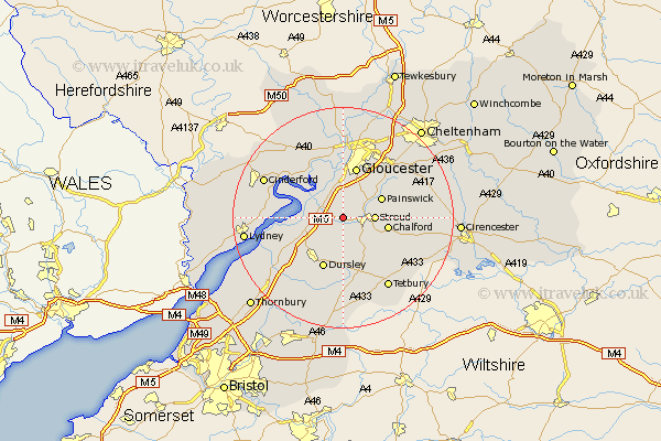
Gloucestershire Map Showing Location of Stonehouse
Population: 7603
District: Stroud
Easting: 380442 Northing: 205789
Latitude: 51.75 Longitude: -2.28
 = Stonehouse
District: Stroud
Easting: 380442 Northing: 205789
Latitude: 51.75 Longitude: -2.28
= Stonehouse
This Stonehouse map below is supplied by Google. Use the tools in the top left corner to zoom into street level or zoom out for a road map, you may also need to zoom in to see Stonehouse on the map. Click and drag the map to move around. If the map fails to load try and refresh your browser or zoom in or out (+ or -).
Update - it seems Google no longer allow people to use their maps for free! This Stonehouse map sometimes loads and sometimes gives a error. I am working on a solution.
Closest 30 Towns or Cities to Stonehouse (Population over 500)
Randwick 2.95km Coaley 5.06km Woodchester 5.06km Stroud 5.74km Frampton-on-Severn 6.03km Frampton 6.03km Frampton on Severn 6.03km Cam 7.21km Quedgeley 7.42km Hardwicke 7.5km Uley 7.76km Painswick 7.81km Slimbridge 7.82km Horsley 8.18km Chalford 8.25km Nailsworth 9.38km Gloucester 9.54km Minchinhampton 9.77km Dursley 9.88km Awre 10.49km Avening 10.94km North Nibley 11.55km Newham 11.72km Newnham 11.72km Hucclecote 13.07km Berkeley 13.67km Brockworth 13.71km Wotton under Edge 13.76km Wotton-under-Edge 13.76km Huntley 15.25km