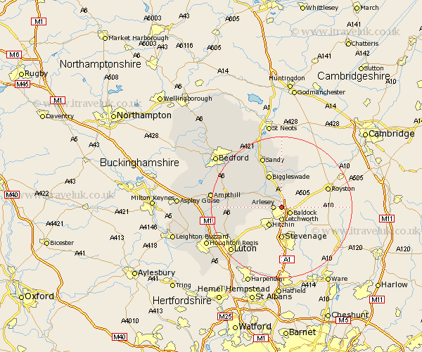
Bedfordshire Map Showing Location of Stotfold
Population: 6407
Area Size (ha): 132
District: Mid Bedfordshire
Easting: 522410 Northing: 235055
Latitude: 52 Longitude: -0.22
 = Stotfold
Area Size (ha): 132
District: Mid Bedfordshire
Easting: 522410 Northing: 235055
Latitude: 52 Longitude: -0.22
= Stotfold
This Stotfold map below is supplied by Google. Use the tools in the top left corner to zoom into street level or zoom out for a road map, you may also need to zoom in to see Stotfold on the map. Click and drag the map to move around. If the map fails to load try and refresh your browser or zoom in or out (+ or -).
Update - it seems Google no longer allow people to use their maps for free! This Stotfold map sometimes loads and sometimes gives a error. I am working on a solution.
Closest 30 Towns or Cities to Stotfold (Population over 500)
Arlesey 2.28km Arlesley 2.28km Henlow 4.93km Langford 6.53km Clifton 6.8km Stondon 6.85km Southill 7.96km Meppershall 7.99km Shefford 8.8km Shillington 9.32km Biggleswade 9.87km Gravenhurst 10.27km Campton and Chicksands 10.91km Potton 13.03km Northill 13.05km Silsoe 13.69km Cockayne Hatley 13.75km Clophill 13.81km Haynes 14.77km Barton 14.79km Barton in the Clay 14.79km Everton 14.87km Sandy 15.34km Flitton 15.97km Maulden 16.08km Pulloxhill 16.08km Blunham 16.32km Wilhamstead 16.57km Willshamstead 16.57km Wilshamstead 16.57km