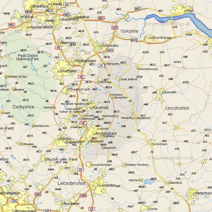
Nottinghamshire Map Showing Location of Sutton In Ashfield
Population: 37604
Area Size (ha): 1011
District: Ashfield
Easting: 449076 Northing: 358004
Latitude: 53.12 Longitude: -1.27
 = Sutton In Ashfield
Area Size (ha): 1011
District: Ashfield
Easting: 449076 Northing: 358004
Latitude: 53.12 Longitude: -1.27
= Sutton In Ashfield
This Sutton In Ashfield map below is supplied by Google. Use the tools in the top left corner to zoom into street level or zoom out for a road map, you may also need to zoom in to see Sutton In Ashfield on the map. Click and drag the map to move around. If the map fails to load try and refresh your browser or zoom in or out (+ or -).
Update - it seems Google no longer allow people to use their maps for free! This Sutton In Ashfield map sometimes loads and sometimes gives a error. I am working on a solution.
Closest 30 Towns or Cities to Sutton In Ashfield (Population over 500)
Huthwaite 2.89km Hucknall under Huthwaite 2.89km Hucknall 2.89km Hucknall-under-Huthwaite 2.89km Kirkby 3.71km Kirkby in Ashfield 3.71km Mansfield 4.82km Pleasley 5.67km Newstead 6.48km Selston 6.48km Underwood 6.74km Mansfield Woodhouse 7.12km Annesley 7.5km Papplewick 9.27km Blidworth 9.64km Rainworth 10.01km Greasley 11.12km Brinsley 11.61km Warsop 12.1km Clipstone 12.43km Eastwood 13.16km Kimberley 14.83km Awsworth 14.87km Edwinstowe 15.26km Oxton 15.28km Claverton 15.36km Calverton 15.36km Bilsthorpe 15.68km Farnsfield 15.69km Arnold 15.74km