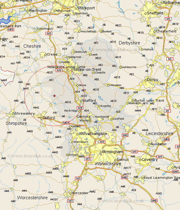
Staffordshire Map Showing Location of Adbaston
Population: 556
District: Stafford
Easting: 376423 Northing: 326295
Latitude: 52.83 Longitude: -2.35
 = Adbaston
District: Stafford
Easting: 376423 Northing: 326295
Latitude: 52.83 Longitude: -2.35
= Adbaston
This Adbaston map below is supplied by Google. Use the tools in the top left corner to zoom into street level or zoom out for a road map, you may also need to zoom in to see Adbaston on the map. Click and drag the map to move around. If the map fails to load try and refresh your browser or zoom in or out (+ or -).
Update - it seems Google no longer allow people to use their maps for free! This Adbaston map sometimes loads and sometimes gives a error. I am working on a solution.
Closest 30 Towns or Cities to Adbaston (Population over 500)
High Offley 1.12km Eccleshall 6.97km Gnosall 8.73km Gnossall 8.73km Standon 10.29km Seighford 11.35km Haughton 11.52km Church Eaton 12.14km Swinnerton 12.88km Swynnerton 12.88km Blymhill 13.72km Whitmore 15.49km Weston 15.49km Weston-under-Lizard 15.49km Weston under Lizard 15.49km Wheaton Aston 15.77km Stone 16.32km Hopton 16.79km Stafford 17.2km Barlaston 17.88km Madeley 18.57km Keele 19.06km Penkridge 19.23km Newcastle-under-Lyme 20.11km Newcastle under Lyme 20.11km Hilderstone 20.16km Bednall 20.44km Brewood 20.75km Silverdale 20.87km Stoke upon Trent 21.64km